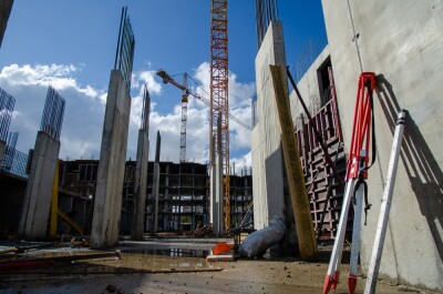
One of the trends right now that is constant around the world is the fact that major cities are only becoming more and more dense as people continue to move out of more sparsely populated areas and into metropolitan ones. In fact, according to one report from the United Nations, projections estimate about 68 percent of the world’s population will live in cities by 2050, compared to about 56 percent today. Additionally, 90 percent of that growth is expected to take place in Asia and Africa. That kind of growth in metropolitan areas will necessitate as much information as is possible to be able to support efficient growth in a number of areas, and city-wide digital twins are one of the best ways to achieve those goals. To that end, Genesys International and Esri India have recently announced a strategic alliance to make a digital twin of the entirety of urban India.
Through this collaboration, Genesys International hopes to more easily and effectively complete its Pan India program, calling for accurate 3D data for the top 100 cities in the country. Given that India is the second most populous city in the world with some of the densest cities on Earth, this is no small feat. It will be the first time this kind of highly accurate geometrical data will be created. With the help of Esri India, who will be tasked with providing the technology necessary for 3D modeling, analysis of the data, and development of the solutions, this project should allow for Indian cities to be better able to plan and govern its growing population centers.
Genesys International is a well-established organization in this space, with over 20 years of experience with a variety of solutions and products centered around the world of geospatial data collection. They also cover a number of sectors and domains, having worked to create end-to-end solutions that cater to sectors like utilities, water resources, mining, infrastructure, retail, and many others. Headquartered in Mumbai, India, Genesys certainly has plenty of familiarity with the nation and the solutions it will need to undergo this massive project, and they have worked with many different companies in the nation running the gamut on needs and industries.
Esri, meanwhile, is of course one of the giants in the geospatial space, with their branch in India celebrating its 25th anniversary last year in 2021. As they are providing much of the technology involved in making this project a reality, Genesys will be able to utilize ArcGIS, one of the leading mapping and location analytics platforms in this space. This is far from the first major project they’ve assisted with in the nation, too, having also worked to help build India’s largest 4G network back in 2019, as well as working with the business sector to integrate GIS into their services, which among other results highlighted a need to increase the spread of financial institutions around the nation, especially in more rural areas.
Recent years have seen more and more cities trying to become “smart cities,” with digital twins of an entire urban center playing a big role of that. Singapore is perhaps the most famous example of this, having this year completed, with the World Economic Forum remarking that it is among the most advanced users of the digital twin. We’ve also seen the small island nation of Grenada, with the help of Esri, create a digital twin of the entire country in large part to help combat the effects of climate change. This is an even larger endeavor than either of those projects, with the goal to create digital twins of 100 metropolitan areas, ranging in population sizes from over 12 million at the high end to roughly half a million on the low end.
Once completed, this project is expected to assist in a broader smart city agenda across a number of different use cases and sectors, including areas like governance, city planning, and disaster management. That is along with the kinds of sustainability goals with which every major metropolitan city is grappling. Sajid Malik, the Chairman and Managing Director of Genesys International, noted in the announcement release that the opportunities for this program are immense, adding about their new partner, “Esri has made a lot of advancements for Digital Twins and 3D modeling and together we will be in the best position to serve our users.” Agendra Kumar, the Managing Director of Esri India, agreed, noting, “Together we can offer very powerful solutions in critical areas for economic growth.”