
UrtheCast says low-orbit observation allows companies to fix problems as they occur
The first continuous, near-live HD video stream of Earth from space – at one-meter resolution – will start beaming down early next year for use in applications such as monitoring crops, verifying insurance claims, studying the effects of air pollution and overpopulation, and detecting deforestation.
Late last week, a Russian cargo ship traveling aboard a Soyuz rocket, and carrying the world’s first, one-meter class, HD Earth video camera and a medium resolution imaging camera, successfully docked with the International Space Station (ISS), orbiting 350 kilometers above the globe.
The cameras are owned by UrtheCast, Inc., a Vancouver, B.C.-based firm, which has an exclusive, 10-year deal to operate the two sensors on the low-earth-orbit, multinational space platform.
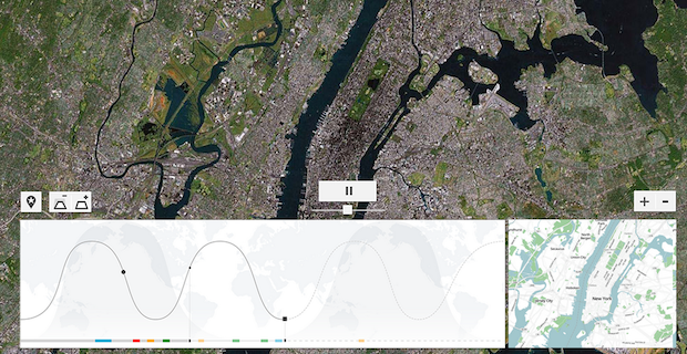
As the ISS circles the globe 16 times a day, UrtheCast’s cameras will constantly capture videos and imagery of locations ranging in latitude from England to Chile.
The ultra-HD, 4K-resolution (4096×2160) video camera will capture up to 150 videos of Earth – at one meter resolution – each about 90 seconds in length, depending on ISS flyover conditions.
The multispectral (RGB NIR), five-meter-resolution camera will capture strips of imagery up to 40 kilometers wide, providing nearly 29 million square kilometers of coverage daily to UrtheCast’s website platform and direct to customers.
The video and still image data captured by the cameras will be downlinked to ground stations around the world and accessible on the UrtheCast web platform, or distributed directly to select customers for a range of applications, including wildlife conservation, social events like watching the World Cup, and humanitarian and disaster relief.
Among UrtheCast’s deliverables it will provide companies, governments and environmental groups are advanced image processing for custom mosaics, ortho-corrected imagery, and change detection algorithms.
The company also said the large number of frame shots of an area of interest can provide 3D deliverables.
The company said it can also show UAV operators what their data will look like over an area of customer interest prior to field deployment.


