
FARO has joined the rank of 3D-scanning vendors that went 2D: The company has announced its latest device, the ScanPlan handheld floor mapper.
FARO says this solution—which also includes a 2D floor mapping software—is specifically designed to generate quick 2D floor plans for public safety users such as emergency responders, fire and crime scene investigators, and security managers. However, a tool like this should have a number of interested users outside the public-safety space.
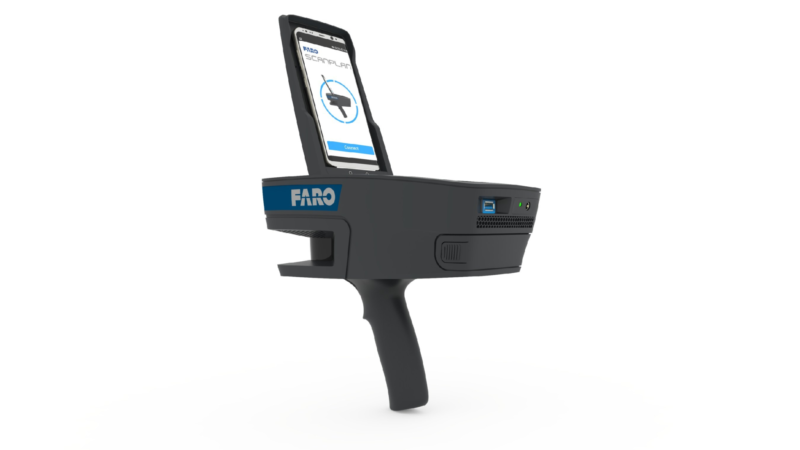
The ScanPlan weighs about 3 pounds and runs for two hours on a single, swappable battery. The package includes the FARO Zone 2D diagramming software, which means users can mount an iPhone or Android smartphone on the handheld device to get real-time feedback about the capture in process.
To emphasize how easily the tool generates floor plans, FARO runs through the whole workflow in its announcement: First, users walk through the building at a normal speed, pointing the device at walls, in daylight or at night. Using the software, users can add notes, or take photographs as needed to note the location of objects like control panels, sprinklers, and so on. Next, users combine floor plans from different levels into a single project, and view the results or take measurements as needed. Last, the user generates 2D or 3D diagrams using the software’s smart tools.
For more information about this tool, see FARO’s product page, or watch the endearingly retro-futuristic video below.


