European Location Framework seeks to unite EU nations’ spatial info infrastructures
Esri said it has joined the European Location Framework (ELF) project to help harmonize and share national geospatial and cadastral data across Europe for a wide range of social, environmental, and economic cross-border mapping applications.
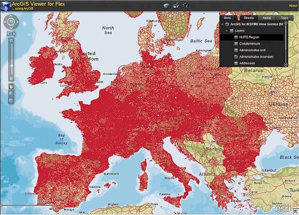
Launched in March, ELF runs for three years and is expected to deliver a pan-European cloud platform and web services to build on the existing work of the European Union’s 2007 INSPIRE Directive. The Infrastructure for Spatial Information in Europe (INSPIRE) is the legal framework created to guide Europe’s spatial data infrastructure. Check out the ELF white paper here.
ELF is comprised of dozens of geospatial companies, national and regional mapping and cadastral agencies, software developers, application providers, and research and academia. ELF is funded by the European Commission’s Competitiveness and Innovation Framework Program (CIP). Total project investment is pegged at €13 million ($17.5 million) over the three-year term.
Based in Redlands, Calif., Esri said it has agreed to provide its ArcGIS platform, including ArcGIS Online and ArcGIS for INSPIRE software, to EuroGeographics, the 59-member association of the European cadastre, land registry and national mapping authorities. Esri said it will also provide support and training as well as entrance to the Esri International User Conference next summer.
ArcGIS Online software will serve as the cloud platform for the project and ArcGIS for INSPIRE will feed national geospatial services into the network.
“The assistance Esri is offering will help the community of national mapping, land registry, and cadastral authorities as they continue to create the interoperable, cross-border, INSPIRE-compliant public-sector information necessary for better decision making,” said Dave Lovell, EuroGeographics secretary general and executive director.
Esri said it will also support the development of various geoprocessing tools including generalization and quality assurance.