
Software now reads LAS files with no conversion needed
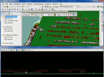
REDLANDS, Calif. – ESRI announced this week the release of its much-discussed update to its ArcGIS software, ArcGIS 10.1. Most significantly for the 3D data capture community, the GIS software package now reads LAS files natively, requiring no conversion before working with the data.
According to company materials, “Many new optimization methods are available to manage, display, and analyze these LAS files,” as well.
Further, the company said, “you can also expect a vast growth in the support for lidar in 3D Analyst—especially in the development of the LAS dataset.”
The 3D Analyst extension to 10.1 now has “expanded online integration of 3D,” the company reports, including “a template gallery from which you can download data to practice using 3D data and scenarios.” Also, “the editing experience is improved, as is display for the maintenance of urban landscapes and visualization support for large datasets.”
With a Standard ArcGIS license you can create a LAS dataset, view it in 2D, include it in a mosaic dataset, and convert it to a raster DEM/DSM. You’ll need a 3D Analyst license, however, to view a LAS dataset in 3D, edit LAS class codes, or analyze the LAS dataset with surface analysis tools.
All of this is part of a much larger effort to support more data sources in the software package as a whole. Many new raster formats have been added, for example, including LAS, LAS dataset and terrain raster types, which allows for the publishing of data as an image service.
Initially, there is a stated focus on utilizing point clouds generated by airborne lidar, but there is also more lidar support in ESRI’s Building Interior Space Data Model, which allows for the aggregation of CAD, BIM and lidar information into a single data source at the facility scale, for example.
For a full explanation of the new lidar support in ArcGIS 10.1, search lidar at this provided pdf resource.
Also, you can watch ESRI’s Brett Rose demonstrate the use of lidar and terrain data for surveillance and situational awareness in 10.1 in the following video:


