
Dangermond’s Plenary Presentation and The 3D Highlights of ArcGIS Pro
San Diego, Cal. — Opening the plenary session of the Esri User Conference on Monday, Esri President Jack Dangermond wasted no time in making a confident declaration. “Something is happening in the GIS world,” he said. “We are about to see GIS reach its full potential.”
“GIS Creating Our Future”
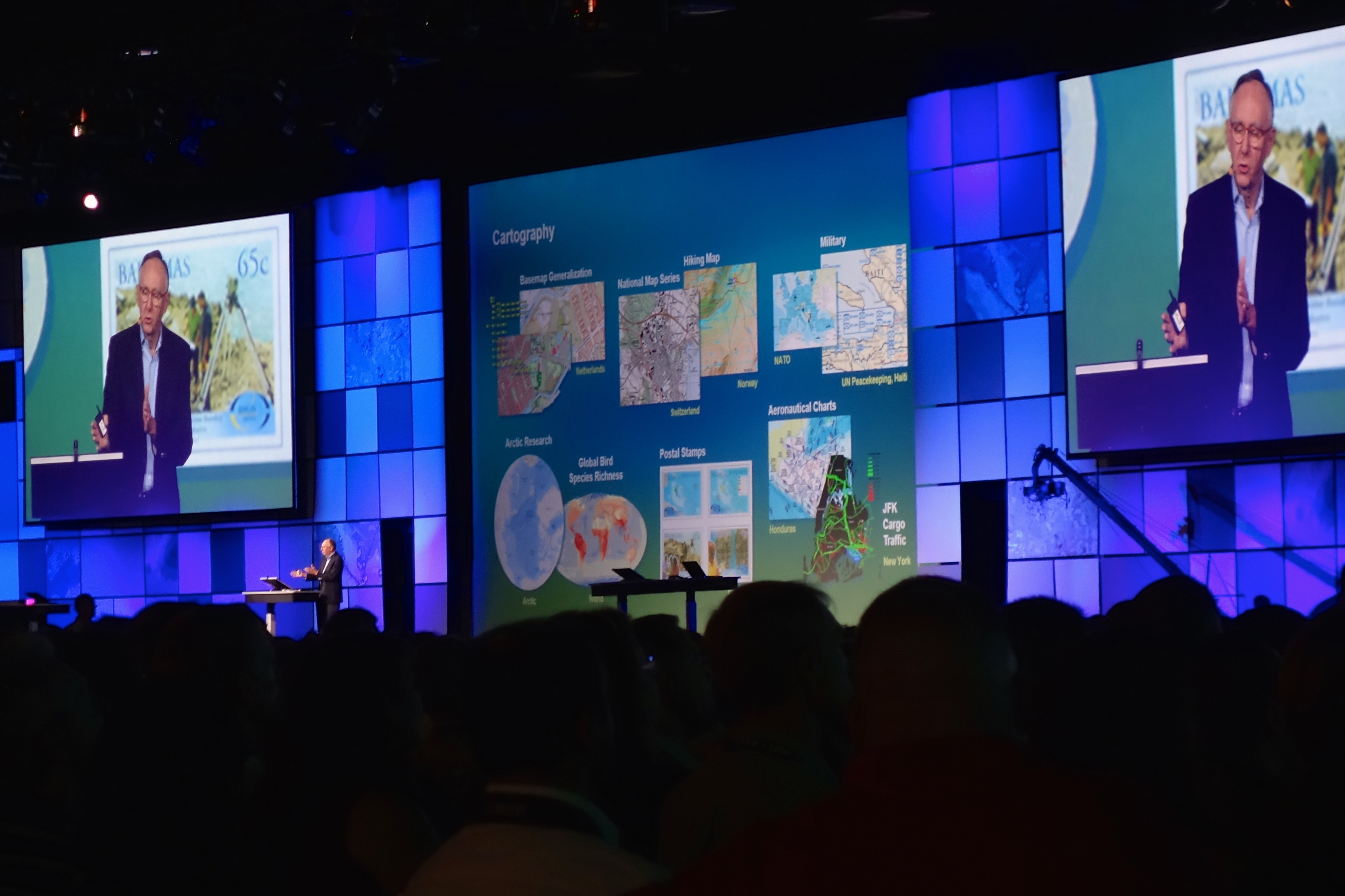
Dangermond, clearly very proud of the things accomplished by people working with GIS, demonstrated the increasing potential of the technology to a packed San Diego Conference Center (filled with what feels like the entirety of Esri’s 15,000 attendees). He showed the range of applications that the company’s software has been used for in the past year, among them forest preservation, appraisals of natural resources, cadastral work, and projects like walkability assessments and the creation of open web portals so a community can help influence the urban planning process.
Afterward, he went on to discuss his big-picture hopes for GIS and the theme of the conference: “GIS creating our future.” Dangermond said, “You and I live in a world that is facing serious challenges–population growth, urbanization, pollution, and energy use,” among a bevy of other problems too numerous to list here. Dangermond argued that GIS, a science that provides “context for our world,” is the way forward because it changes how we think and act, integrates and organizes our disparate kinds of information, and facilitates the sharing of information and work.
GIS is so important to the future, in Dangermond’s estimation, that “creating a better future requires GIS professionals.” With the work of the attendees of the conference (and people like them), Dangermond says, a better future is “not just a possible thing, it’s not just a probable thing, I think it’s inevitable.” He is nothing if not idealistic about the possible benefits of good GIS.
ArcGIS Pro Goes 3D
Later, the plenary session moved onto more pragmatic considerations, like demonstrations of what we can expect to see in Esri’s ArcGIS Pro desktop client sometime in the next couple of months. The changes you’ll see in Pro will include new analysis tools; new image-processing tools; and a bunch of new data collections, some updated in real time and some offering historical views. After announcing this, Dangermond impressed the audience by zooming in on the Dodger Stadium in Echo Park, Los Angeles (while humorously apologizing to the San Diego crowd) and moving a slider to view maps of the different surveys that have been taken of the stadium throughout time. A lot of the functions in ArcGIS Pro are flashy like this, but most interesting to me was one of the new ways that the program will allow you to view and manipulate your data.
In addition to accommodating the dimension of time (with historical maps and new temporal analysis tools) ArcGIS Pro adds platform-wide support for 3D visualization. Suzanne Foss demonstrated just a bit of these 3D capabilities by opening and navigating around a map of Sonoma County. Next, she changed the map from pure 2D to include a much richer 3D data set. “You can also operate in 2D and 3D at the same time,” she added, “monitoring different areas or linking the maps to get multiple perspectives on your city.” The software seems fairly powerful–she left a 2D rendering and a 3D rendering open at the same time and had no problem navigating through the map without a hiccup.
If you don’t have 3D data already, the program has you covered. Foss added a 2D data set of buildings in Sonoma to her project. “You can transform your 2D data into 3D by using a 3D symbol,” she said, “we’re going to use a symbol that connects to data attributes to render instant 3D features.” The symbol that she selected “drapes realistic building textures across [a building’s]footprint. It uses data properties like building height, number of floors, building usage type–like residential vs. commercial–and renders a realistic-looking town scene over Sonoma, California on the fly, dynamically.” She pressed a few buttons, and voila, in a flash there was a realistic-looking town model of Sonoma County generated from the attributes of the town’s real buildings.
Next, she demonstrated a layer for trees as well that generates 3D imagery using attributes like crown width and height. In the future, she says, there will be layers for streets, water, and ground. It’s undeniably impressive looking and Foss described it as an “entirely new approach for 3D authoring.” True or not, it’s another step into the third dimension for Esri.
Other assorted bits of varying importance:
- A hotspot analysis function allows you to select a period, and the program tracks areas with statistically significant change over that period. It can also display the information using time as the third dimension–I’m not sure just what you’d use that for, but it looks cool.
- Esri will introduce web app builders to allow those with little programming experience to build apps using available data.
- Web scenes will work on mobile systems.
- ARCGis Explorer is now available for Mac (this promoted some cheers in select quarters of the conference hall).
- Developers will have access to Esri’s API.
- will.i.am, famous producer and member of the Black Eyed Peas, called in on Skype to discuss a wearable project he is supporting and his involvement with promoting STEM education to children.


