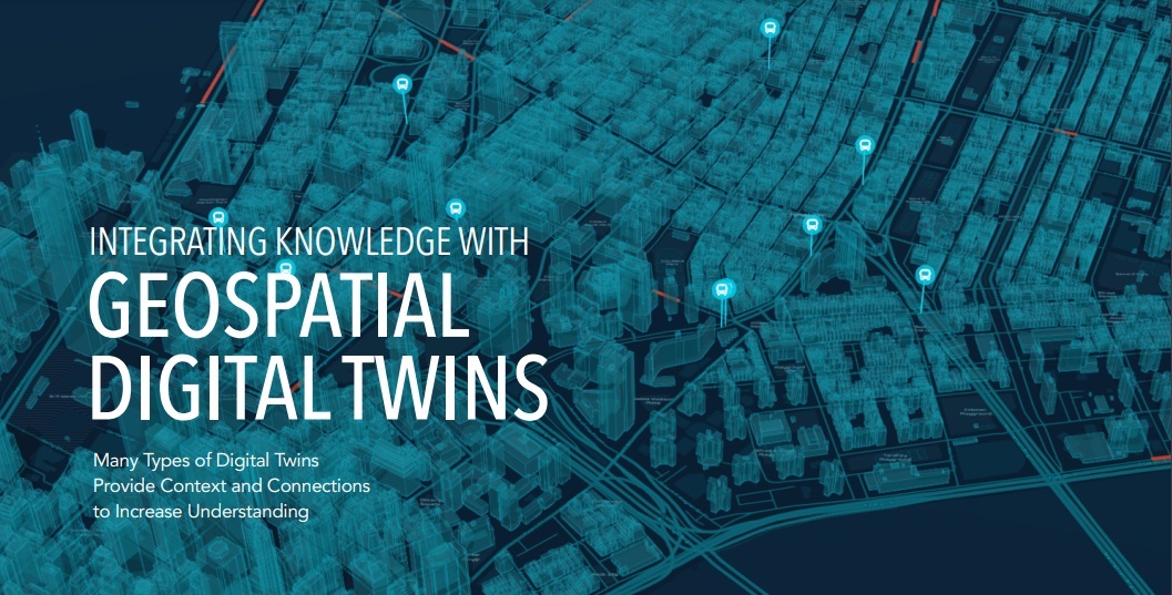
Now that digital twin technology is becoming more mainstream, Esri has published an eBook to promote its use. Integrating Knowledge with Geospatial Digital Twins is a recommended read for people interested in understanding how Esri approaches digital twin technology from a location intelligence perspective. The fourteen use cases included in the eBook spotlight real-world examples of organizations in both the public and commercial sector. The case studies showcase the benefits of digital twin technology to improve daily operations and make better decisions.
What is a geospatial digital twin?
Esri defines a digital twin as a “virtual representation of reality, including objects, processes, and relationships.” When built on a foundation of geography (or maps), a digital twin becomes a geospatial digital twin. What becomes clear from reading the different use cases is the idea that Esri technology intends to integrate and combine different spatial data sources that can be visualized and analyzed in relation to each other in ways that were not possible before.
Digital twins for planning purposes
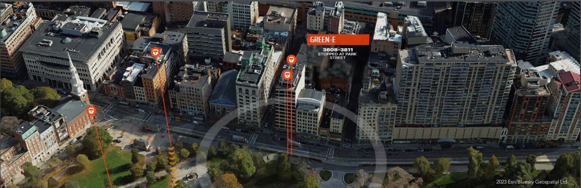
Throughout the eBook, the reader is reminded that digital twins are dynamic, as opposed to 3D reality models. The ability to integrate and analyze dynamic spatial data sources explains why cities such as Boston and Detroit use digital twins for planning purposes, for example by testing multiple scenarios and observing the expected results based on real data and known behaviors. A similar, holistic and large-scale approach is found in digital twin creation for environmental studies. The result is an “environmental digital twin” consisting of an inventory of existing conditions, ecological systems, and earth processes.

Not all geospatial digital twins have such a large spatial footprint. For example, a digital twin of San Francisco’s airport uses GIS to incorporate other technologies including BIM models of construction plans and work order management systems that capture maintenance details, with the goal of monitoring how components and systems are functioning. The digital twin also provided the basis for an ambitious and transformative renovation process.
Digital twins for transportation and utility networks
The most interesting use cases for geospatial digital twins are those consisting of a large, single area containing many interconnected entities such as transportation and utility networks.
For example, telecommunications company Vodafone created a digital twin for Britain that represents 245,000 square kilometers using GIS. The resulting digital twin captures topography, cell towers, and the equipment on each tower. Again, it’s the spatial context as a result of combining different data types that provides what is described at one point as “maximum contextual awareness”.
While the different use cases focus on the “why” of creating digital twins, there is less focus on the “how” in the eBook. Data capture, integration and analysis workflows are mentioned briefly but this is where today the challenge lies. However, the individual use cases are impressive and give an idea of what to expect in the near future, not only for digital twin technology but also the direction of geospatial technology in general.