
Speaking with Lori Collins, co-director of the Alliance for Integrated Spatial Technologies
TAMPA, Fla. – Last week, the Alliance for Integrated Spatial Technologies here at the University of South Florida really got to strut their stuff: Students, faculty, and area looky-loos were invited to an open house at the new Advanced Visualization Center, a USF 3D mecca, with a high-def 3D projection wall, haptic devices for controlling 3D models, and 10 workstations loaded with Geomagic and other 3D software. Soon there will be Kinect integration for creating gesture-based controls and even some 3D printers.
It is the most tangible piece of AIST’s effort to infiltrate 3D throughout the university, both its curriculum and its teaching methods. While co-directors Lori Collins and Travis Doering are both archaeologists by training, they’ve managed to move beyond historic-preservation-aimed curriculum and attract the attention of faculty members throughout the school of Arts and Sciences and beyond.
“Travis and I would attend dean meetings and department chair meetings,” explained Collins of AIST’s early days after it launched as a departmental group in 2007, before it launched as a formal center in the 2009-2010 school year. “We just wanted to get to know what all the departments were doing, and we were floored by all of their research … We reached out to all those different departments right off the bat and started preaching about what 3D could do and that has made us more vital as a center.”
With all of these departments separately exploring 3D, it made sense to the university to centralize 3D data capture knowledge, Collins said, if only “because all of these pieces of equipment are hugely expensive and we don’t want to have duplication.” (AIST has close-range scanners, Faro and Riegl equipment, so they can gather 3D data at close range and out to a kilometer.) Thus, Collins will pop into a Geography class to help out with a portion of the curriculum focusing on geophysics, and when she teaches a semester-length course on 3D for Museum Infomatics, there are art majors, history majors, and all sorts of other students getting immersed in the world of 3D data capture, process, and delivery.
As you might expect, art and history students get pretty geeked up about a classroom course that’s so hands on and 3D. “We’re using a Minolta scanner and we’re doing 3D prints for museum interpretive elements,” Collins said. “That was the first time we’ve used 3D printing in a classroom experience – now we’re writing a proposal to get a new color printer.”
Nor is it just classroom theory. As part of a National Science Foundation grant-funded project scanning the Takalik Abaj archaeological site in Guatemala, AIST were able to use their scans to create printed replicas of some of the ancient statues and provide them for display at a small local Guatemalan museum.
“We were using 3D printing [in the museum class]as part of a project to create replicas that would be useful for museum display, and now the pieces are helping this little museum that doesn’t have a lot of money for elaborate displays,” Collins said. “Here’s our little class having an impact globally.”
Collins, Doering, and their various grad and undergrad students are having a global impact in other ways, as well. Doering has a passion for pre-Mayan Mesoamerican history. As part of that, AIST launched Meso3D, which is still in its infancy, but is will soon be a storehouse of 2D and 3D images and data.
You can watch a video here of AIST’s work in 2009 at the archaeological site of Kaminaljuyu, Guatemala:
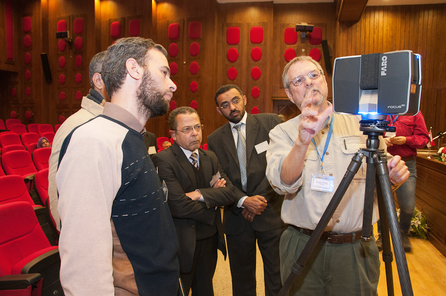
They also returned from a project in Egypt in January where they participated in a capacity-building workshop put together by Hamilton College as part of a National Science Foundation grant, “where we were showing other researchers and institutions what 3D technologies can do.” For example, Egypt’s National Authority for Remote Sensing and Space Sciences does a lot of aerial remote sensing, “but they haven’t really gotten into terrestrial work, so we were there to showcase some of the things that you can do with terrestrial laser scanning.”
Next week AIST leaves for Chalcatzingo, in the central highlands of Mexico, to document in 3D bas-relief carvings and Olmec-style monumental art that’s been listed among the world’s 100 most endangered historical sites.
AIST is having a local impact, too, of course. Collins and Doering hope to eventually build to a university degree program based in the use of 3D data capture and delivery, and they’re close to launching a certificate program in heritage studies in the short term. They’ve also already launched continuing education classes and have teamed with Faro to provide intensive three-day training programs that confer 2.4 continuing education hours. On tap are programs aimed at the forensics community and other areas that are “hot in 3D,” Collins said.
It’s just another case where the Alliance’s goal of disseminating 3D meshes with the university’s: “Part of the university’s strategic mission is to be teaching and learning with people who are outside of the university and who come in for job skills or to retool for new jobs.”
Few jobs are newer than those in the 3D data capture industry.
The AIST team will be part of the brand-new University Pavilion at SPAR International, April 15-18, in Houston, Texas.


