The Geographic Calculator 2014 displays EPSG ‘Area of Use’ polygon data
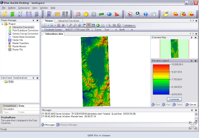
Blue Marble Geographics said its Blue Marble Desktop is now The Geographic Calculator 2014, a single platform for geospatial data conversion and coordinate translation.
Interestingly, Blue Marble, headquartered in Hallowell, Maine, created The Geographic Calculator (GeoCalc) in 1993 for GIS and survey professionals. When a new version was released in 2007, it was named Blue Marble Desktop. Seven years later, the software platform has taken up its old moniker.
GeoCalc, available in a 32- or 64-bit version, has all the functionality of the Desktop, including the Geographic Transformer, Translator and Spatial Connect products, as well as an Esri extension and CAD support. Periodic versions of The Geographic Calculator (GeoCalc) will also cease and be replaced by annual releases with service packs between releases.
The company develops and sells geospatial software for applications in the oil and gas, mining, civil engineering, surveying, and technology industries with its suite of products, including: Global Mapper, LiDAR Module for Global Mapper, Global Energy Mapper, and Global Mapper SDK.
Blue Marble said GeoCalcThe platform has an XML-based coordinate object library, a project manager for data processing jobs and workflow management, Geoid or vertical datum support, survey seismic format support, raster georeferencing, mosaicing and reprojecting, as well as vector file translation tools.
GeoCalc also has functionality to display and support EPSG “Area of Use” polygon data, which allows the user to visually see on a map where a coordinate system or transformation is intended to be used.
“Blue Marble is intimately familiar with the area of use polygons project having developed a beta version of the data for the OGP [Open Geospatial Consortium] in 2011,” said Blue Marble President Patrick Cunningham.
GeoCalc also features improved vertical coordinate system handling, aligning with EPSG Vertical CRS definitions and including the option to dynamically select vertical transformations when working with high-accuracy, elevation-based data.
GeoCalc 2014 also features the new Land Survey Summary job for generating printed layouts in Canadian survey systems, allowing users working with survey data within the borders of Alberta and Saskatchewan to plot points and lines directly from Dominion Land Survey coordinates.
Customers with a Geographic Transformer license can access and use all functionality in GeoCalc jobs, and vice versa, with a current license. A one-year subscription (termed license, renewed annually) or a “fully functional perpetual (non-timeout) license.