
February 16-18, 2026 | Colorado Convention Center | Denver, CO, USA **Early Bird Pricing Ends 1/16**Join Us at Geo Week 2026!
As data collection improves, including advanced lidar and other reality capture technologies, the amount of digital data generated is growing exponentially. As workflows evolve and new tools become available, it is crucial that users make informed choices about which technologies to adopt, how to make sure their personnel are focused on the right tasks, and how to get the most ROI out of the data they are collecting.
Bringing together experts from across these industries, the Geo Week conference program has cross-cutting sessions that will provide a closer look at many of the most important topics in digital workflows, data capture and processing, and applications of collected data. The below 3 sessions are a snapshot of some of the innovations that will be highlighted on the Geo Week Conference Program.
Point Cloud Processing: Best Practices and Workflows
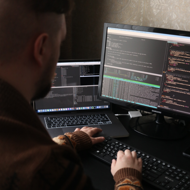 Getting from capturing data in the field to a useful deliverable is a journey, with decisions to be made along the way. As powerful as lidar is for understanding the world, it can also be labor-intensive to register, process and interpret. Point Cloud Processing: Best Practices and Workflows, will feature presentations offering their perspectives on tried-and-true approaches to point cloud processing, as well as proposing alternative novel workflows to save time and effort.
Advanced Aerial & Hybrid Workflows
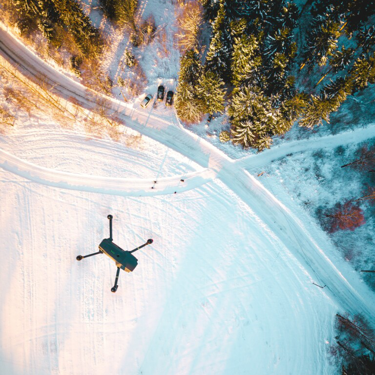 Gathering aerial lidar and imagery is an important part of any geospatial workflow. With the increasing capabilities of aerial sensors, the growing adoption of UAVs for surveying and mapping, and the broadening reach of terrestrial mobile mapping, it is now possible to use a combination of tools to get the right data to fit a project’s needs. In Advanced Aerial & Hybrid Workflows, learn how to select the optimal combination of sensors and techniques to get to actionable data more quickly, and how to integrate data from different scanning and surveying methods.
AI/Machine Learning Opportunities for Geospatial Data
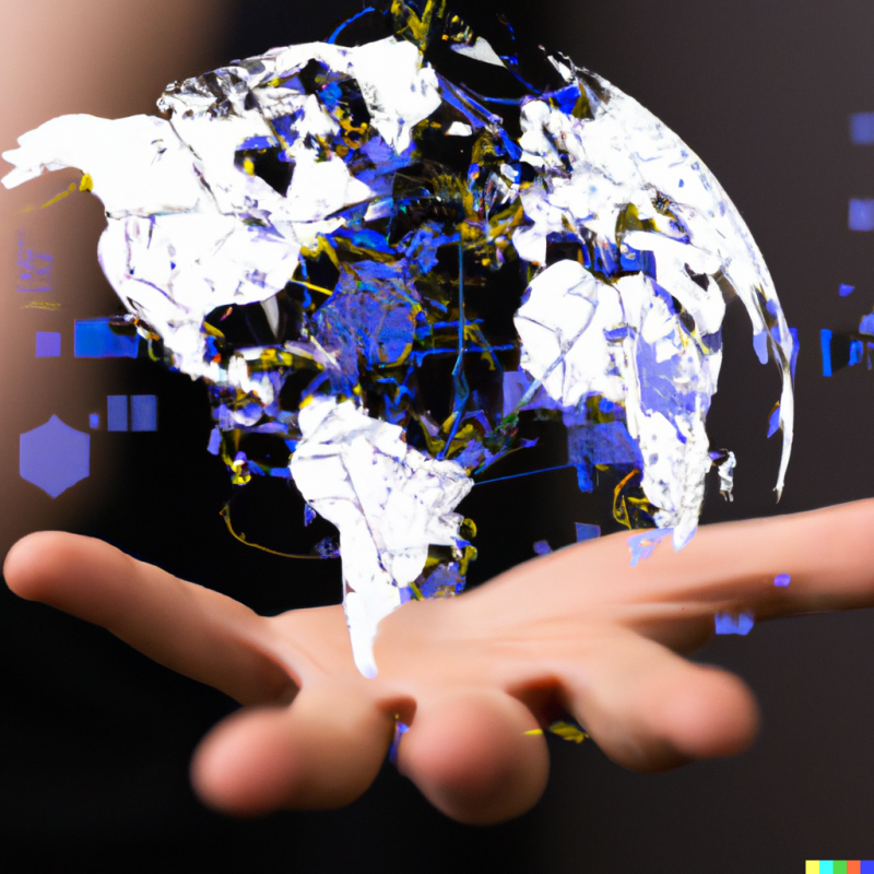 Machine learning, artificial intelligence, and autonomy are high on the list of future technologies on the horizon, but there are many ways in which these advances are already being put to use. In AI/Machine Learning Opportunties for Geospatial Data, artificial intelligence and machine learning can be applied to solve myriad problems, by increasing efficiency, lowering personnel time, and in some cases, finding what humans might miss. Learn how AI and machine learning are all being out to work for utilities, in cities and by Departments of Transportation (DOTs) in creative ways.