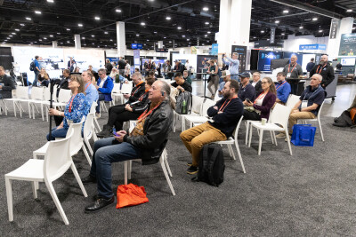
During a presentation at SPAR 3D Expo 2019, Bentley talked about realizing the value of a digital twin, as well as the integration of the company’s ContextCapture software with Topcon’s MAGNET Collage Web to provide professionals in various industries with cloud-based photogrammetry processing.
Since 2016, when Topcon and Bentley partnered to create the constructioneering initiative, both companies have been launching new products that incorporate technology from one another to streamline construction workflows and improve project delivery. This newly announced integration is no exception to that, and aims to increase value in the collection of UAV data.
Designed for many different industries, including construction, mining, civil infrastructures, and mapping & surveying, Bentley’s ContextCapture is a reality modeling software to generate 3D reality meshes from UAV and ground-level imagery, supplemented by laser scans. On the other hand, Topcon’s MAGNET Collage Web is a web-based service for publishing, sharing, and analyzing reality capture data. By combining both solutions, Topcon makes it simpler for professionals to upload the collected data directly to the web, without the need for high-end hardware requirements or IT constraints.
“Operators with photos taken by any UAV will easily use the photogrammetric engine integrated into Collage Web for fast generation of 3D engineering-ready reality meshes and digital surface models,” said Charles Rihner, vice president of planning for Topcon Emerging Business. “It will also allow UAV imagery projects to be easily shared with stakeholders. Simply drag and drop data for robust publishing directly via the browser,” said Rihner.
With a handful of features available, such as image overlay, taking measurements, annotating, performing asset inventory, MAGNET Collage Web allows stakeholders to have immediate access to the information through a smartphone, tablet or PC, and view the area from the same perspective as the operator.
In addition to the integration of Bentley’s software, Topcon has also announced a new flight-planning system for the Intel Falcon 8+ Drone – Topcon Edition.
This new system introduces improved mapping features to easily set project parameters and prepare missions using presets for 2D areas like polygon, corridor and city grid, as well as 3D structures like towers, buildings and facades.
“Operators can take advantage of 2D and 3D map views with the ability to import more precise project details and parameters, including restricted airspace, and support to adapt flight-planning over difficult terrain. It features the ability to import elevation, KML, GeoTIFF and Shapefiles for real-life visualizations targeted for accurate planning. Plus, expanded preset options support automated flight including circle of interest, panorama, and 2D and 3D missions with automatic elevation and terrain adoption,” said Charles Rihner, vice president of planning for Topcon Emerging Business.
Moreover, the system includes automatic pre-flight safety and system checks while in mission planning, providing operators with details about “battery life, airspace integration, ground and object safety limits, maximum dive and climb rate, minimum and maximum altitude, camera speed, number of images, camera storage, GSD check, and target photo coverage and quality”, according to Rihner.
Topcon also made improvements to how the system handles and exports data, creating a more efficient workflow. These improvements include automated image matching and geotagging of images during data import, to save time, and the ability to preview and inspect the quality of the collected data, including individual images, as well as an overview of data coverage.


