

While we’ve seen terrestrial topographic mapping steadily improving, for a long time the challenges of collecting accurate bathymetric data with lidar have been daunting. Thanks to a renewed push to understand vulnerable and valuable coastal data, as well as some innovative technological leaps – bathymetric lidar is now a hotbed for development and innovation.
Lidar bathymetric surveys are increasingly conducted from the air, increasing the speed and coverage compared to ship-based methodologies, and sensor developments have made the data collected via these means even more accurate.
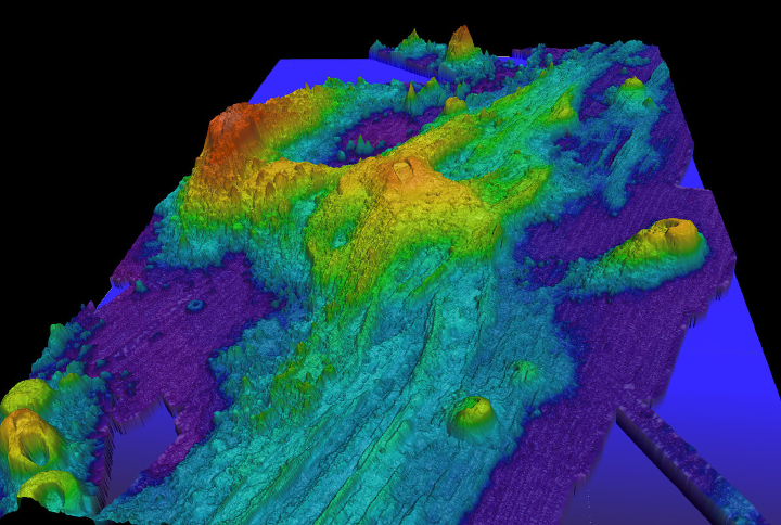
Despite the challenges presented by trying to get a signal through the water column (and everything that may be present within the water column), the data collected are valuable enough to try to overcome them. Beyond simple water depth measurements, bathymetric lidar can be used for planning coastal development, locating wrecked vessels, environmental classification, erosion studies, and a variety of water quality and hydrodynamic applications as well.
Recently, Geo Week hosted a webinar that explored some of the innovations in bathymetric data collection with lidar. The panel featured three leaders in bathymetry from RIEGL, Hexagon and Woolpert. This is your chance to see what the latest sensors and techniques have to offer – and to find out from the experts what can be seen.


