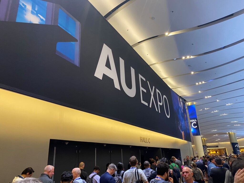
Last month in Las Vegas, Nevada, Autodesk held their annual Autodesk University conference, bringing together users and partner companies throughout the design, AEC, manufacturing, and entertainment industries to unveil new releases and foster conversations about coming trends. This year’s show included a whole lot of focus on artificial intelligence as well as mixed reality, while also highlighting the importance of integration and the idea of us being in a new era.
The three-day event was filled with networking opportunities, keynote speakers from the Autodesk executive team (plus actor Ryan Reynolds), and small breakaway sessions from industry professionals discussing ideas and trends they are seeing at work. Alongside all of that, though, the event also included a packed show floor of industry exhibitors, with nearly 200 booths featuring all areas of the industry. Geo Week News was able to catch up with a handful of the companies to learn about what’s new.
BIMLOGIQ
With such a heavy emphasis on AI throughout Autodesk University, BIMLOGIQ fit right in. The Australian-based company has two key features available right now, plus one which was introduced at the event, and all featuring AI. Working with BIM models, as the name suggests, their first innovation was a simple but important one, providing automated annotation in a model and, crucially, ensuring the annotations don’t overlap with other important pieces of the model. Co-founder Ali Najmi told Geo Week News this particular detail was a tough problem to solve. Along with Smart Annotation, the company has a Smart Schematic feature to generate 2D drawings from 3D models, and are getting set to release their Copilot generative AI tool.
Nearmap
It’s important for contractors and designers to have an accurate understanding of an area in which they are going to work, making aerial imagery crucial for these projects. Nearmap is one of the largest providers of this imagery in North America, providing up-to-date imagery from around the United States and Canada. Executive Vice President and General Manager Tony Agresta gave Geo Week News a demonstration of the web-based tool, Map Browser, in which users can view areas with aerial views as well as panoramic, ortho, and others. Users can also measure distances within the browser, and new AI features are able to automatically identify attributes throughout a selected area.
Plex-Earth
Continuing with the theme of aerial imagery, Plex-Earth was on-site at Autodesk University to show off their software to make geographic analysis simplified for engineers and architects. Head of Technical Support Vasiliki Soulioti gave Geo Week News a demonstration of their interface, showing how users can easily import imagery from a range of sources, including Google Maps, the aforementioned Nearmap, Hexagon, Airbus, or Maxar, with additional options to import custom drone flight data. Users are able to bring in extremely high-resolution imagery from large areas, with automated workflows to streamline projects.
Topcon
At their booth in Las Vegas this year, Topcon had two main products they were showing off. One was HP’s robotic layout tool, which works in concert with Topcon’s total stations as well as other products on the market. Additionally, the team demonstrated their new Aptix software for Geo Week News. Aptix is an integration-as-a-service platform, allowing AEC professionals to bring multiple services and platforms into one space. Given how disparate so much construction software can feel, having this kind of integration bringing project data into one common environment is a major time and stress saver for professionals.
vGIS & vSite
We mentioned AI as a big theme of the overall event, and that played some role in just about every product mentioned above. The other major theme in terms of product and technology was mixed reality, which is where vGIS comes in. An augmented reality product, vGIS allows those in the field to view either digital models or reality capture data within real space using either a wearable or tablet. In addition, the company was showing off their new vSite, which allows for improved collaboration capabilities within digital twins, which can be viewed within augmented reality and on a browser.