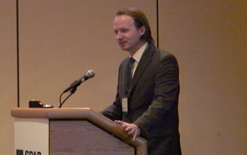
Billingsley demonstrates utility, use case for novel technology
HOUSTON—While augmented reality can often seem still like a piece of science fiction, Sam Billingsley, managing partner, Geophysical Data Management, a third-generation surveying and GIS data firm, noted early in his presentation on the topic here at SPAR International 2011 that most of us have experienced it often:
“The way you’ve probably all seen augmented reality the most is the first down line when you’re watching football games. That yellow thing on the field? That’s augmented reality,” he said.
He also made it clear why you should care.
“Why am I so hip to this? … ABI Research says augmented reality revenue will move from about $6 million in 2008 to about $350 million in 2014,” he noted. And by 2016? $3 billion.
That’s a rapid move from millions to billions in revenue generation.
Augmented reality, Billingsley said, is just “a term for live direct, or indirect, view of a real-world environment where that environment is augmented by something digital. The point here is to enhance the reality with digital information.” He outlined simple use cases in real estate, college campuses, criminology, emergency response, tourism, the military, and a number of other verticals.
For instance, the military is using a combination of augmented reality goggles and QR codes (learn more about them here) to guide young mechanics through the process of fixing vehicles. “The steps are laid right out for them on the screens of their glasses,” Billingsley said, “even picturing for them the screwdriver that they’ll need for the screw in front of them.”
Currently, advertising and marketing is taking the greatest advantage of the technology, generally through the use of a augmented reality web browser on mobile devices. Billingsley said his organization has chosen to develop on the Layar platform, what he believes is the leading browser. It’s similar to Internet Explorer or Firefox, except that it’s designed to display augmented reality data over the images your mobile device captures with its camera. Those images then offer you links that you can click on to get more information about what it is you’re seeing.
Why does the average 3D professional care? Because accurate GIS and spatial data is what drives the entire augmented reality industry. “It’s like the Internet,” Billingsley said, “but each web page, instead of being in a sequential system, only exists in the spatial space.” Additionally, the “further information” that viewers are provided could often be the as-designed models, the as-built scans from three years ago, or some other captured 3D data that is relevant to the job being performed.
For an emergency responder, being able to point a phone at a burning building and see what condition it was in prior to the fire could be crucial to quickly planning a rescue operation. Then, the responder could turn around and point the phone at the fire hydrant and be provided with pressure and maintenance data.
For a process plant facility manager, all of the data from PNID could be geo-referenced to the as-built facility so that one could view the facility and all of the part numbers and maintenance history would be available at the press of a finger. Then the most recent scan could be called up and a measurement taken as the manager considered moving in a new piece of equipment.
Essentially, the ability to view the real world, but augmented with digital data, presents a world of applications that is limited only by the creativity of those people deploying the technology, Billingsley said.
“One of the things I’m keen to stress here is that most of us here have been cutting edge because we’re into 3D, but this is all using off the shelf technology,” he said. “For the first time we’re able to give this information, this cheap GIS information, to something our customers are already using, maybe a phone or a tablet. Compare the cost of the average tablet to the cost of a survey grade GIS handheld device. We can leverage the fact that the marketplace is supporting something that we can use.
“We’re in a lot of plant environments, maybe with security and safety issues, and we always struggle with deliverables. We can take a lot of things that they’re wanting as layers and put them in an augmented reality layer. If they don’t have the time to sit in an office, they can use it on the mobile device.”


