Every week here at Geo Week News, we have been highlighting some of our favorite stories from around the internet that cover the geospatial, 3D, and AEC industries. Whether it’s a fascinating case study, insights from an industry thought leader, or deep dives into new tools, there is never any shortage of great writing and storytelling in this industry. So, below you can find links to three stories that we loved this week.
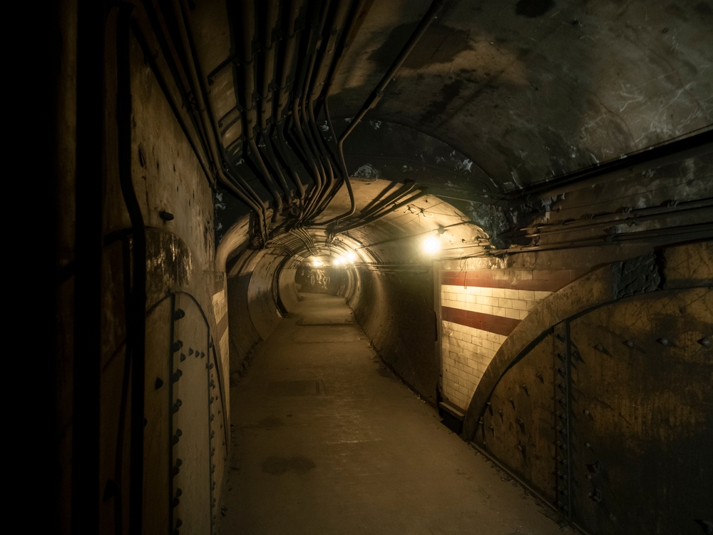
Surveying the HS2 tunnels in London
Staff Writer | GIM International
Six tunnel-boring machines are carving their way beneath London as part of the HS2 high-speed rail project, and GIM International goes inside the survey operation keeping them on course, including an 8km drive through unpredictable ground with no intermediate position checks and millimetre-level breakthrough tolerances to hit. Survey manager Matthew Baddeley of the Skanska Costain STRABAG Joint Venture breaks down the gyroscopic control, laser scanning workflows, and 21km surface traverse that held two independent underground control systems together, and the moment the lid was lifted at Greenpark Way to find out if it had all worked.
Turning geography lessons into stories: a National Geographic MapMaker partnership
Heidi Daulton | Esri Blog
Esri's ArcGIS Storytelling team partnered with National Geographic Education to transform middle school geography and earth science lessons into immersive ArcGIS StoryMaps, complete with animated maps, real-world case studies, and built-in interactivity designed to hold the attention of students raised on social media. The lessons feed directly into hands-on inquiry activities in National Geographic's MapMaker tool, with topics spanning the shrinking Aral Sea, tectonic plates, the Silk Road, wildfires, and more than two dozen other subjects across world cultures and earth science.
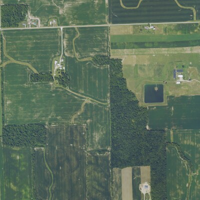
The most detailed GIS datasets and maps of Australian protected species distributions have been released
Jnalley | Spatial Source
Australia's federal environment department has released its most detailed GIS datasets ever for protected species distributions, mapping where hundreds of land- and marine-based fauna and flora are likely to be found across the country at 100-metre resolution. The publicly available data is designed to help developers steer projects away from sensitive areas while giving conservationists a sharper target for where protection and restoration efforts are most needed.