Every week here at Geo Week News, we have been highlighting some of our favorite stories from around the internet that cover the geospatial, 3D, and AEC industries. Whether it’s a fascinating case study, insights from an industry thought leader, or deep dives into new tools, there is never any shortage of great writing and storytelling in this industry. So, below you can find links to three stories that we loved this week.
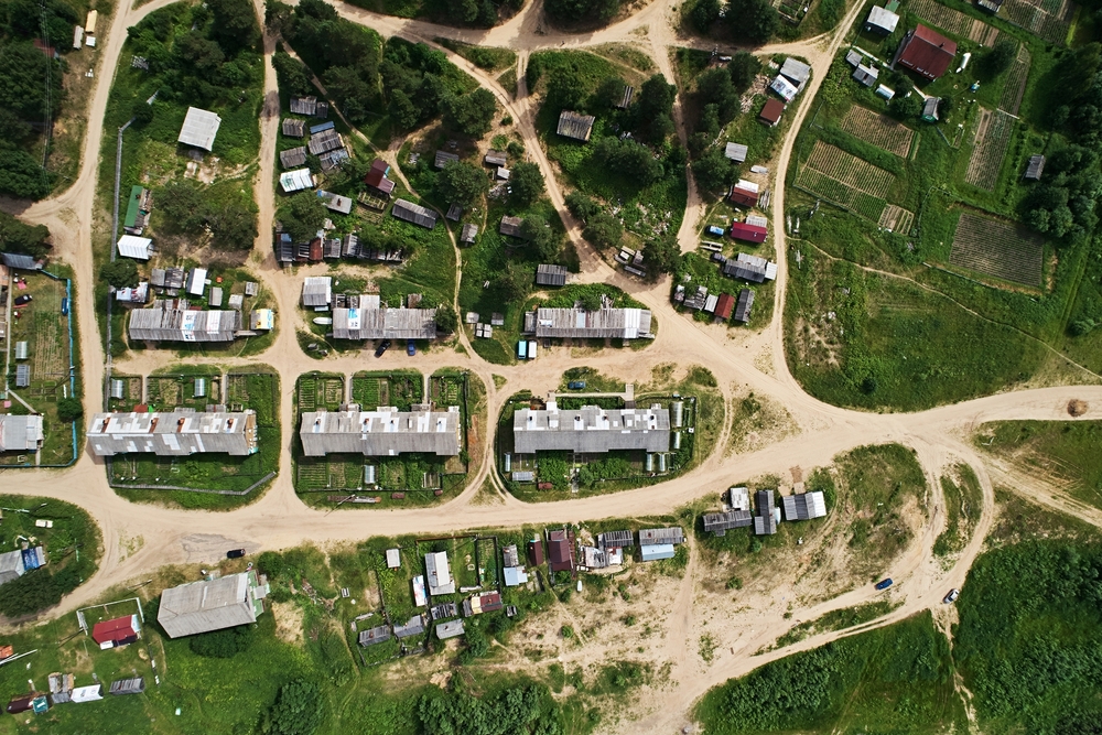
How Utah—America’s Most Urban State—Uses Data to Solve Housing Affordability
Patricia Cummens | The American Surveyor
Hemmed in by mountains and federal land ownership, Utah has little room for sprawl, so the state is leaning hard on GIS technology to map available parcels, infrastructure gaps, and permitting bottlenecks in its push to build 150,000 new housing units by 2028. A new web-based dashboard tracking everything from cost-burdened renters to starter home permits is replacing what officials once called "windshield data gathering" with hard numbers and the data is already reshaping how cities plan for growth.
Trimble Launches ‘Everywhere You Turn’ Road Trip
Eric Van Rees | Geo:
Trimble has hit the road in a custom-branded Airstream trailer for a cross-country U.S. tour spotlighting how its construction, geospatial, and transportation technology powers everyday life. The "Everywhere You Turn" road trip will stop at construction sites, infrastructure landmarks, and stadiums to put a face on the surveyors, builders, and logistics professionals behind the modern world.
PCI Geomatics launches tool to map structural movement across construction corridors
Staff Writer | Geoinformatics
PCI Geomatics has launched UrbanSAR, a satellite-based monitoring tool that uses InSAR technology to detect millimetre-scale structural movement floor by floor across entire urban construction corridors — no ground sensors required. A case study over Toronto's Yonge and Eglinton corridor found movement of up to 30 millimetres at upper floors of newly built towers, exposing a monitoring gap that conventional sensors simply can't close at corridor scale.