Every week here at Geo Week News, we have been highlighting some of our favorite stories from around the internet that cover the geospatial, 3D, and AEC industries. Whether it’s a fascinating case study, insights from an industry thought leader, or deep dives into new tools, there is never any shortage of great writing and storytelling in this industry. So, below you can find links to three stories that we loved this week.
Gaming Technology, A New Approach to Mobile Mapping Software
Staff Writer | LiDAR News
A new mobile mapping software platform from New Compass Solutions applies gaming-engine architecture, built on Unity, to tackle long-standing technical constraints in lidar data extraction, enabling real-time streaming visualization and multi-user access to massive point cloud datasets. By separating high-performance 3D rendering from enterprise data management and embedding statistical quality control into workflows, the platform aims to streamline distributed extraction and collaboration for large-scale projects. This approach signals a potential shift in how next-generation mobile mapping systems handle data intensity, team coordination, and interactive spatial analysis.
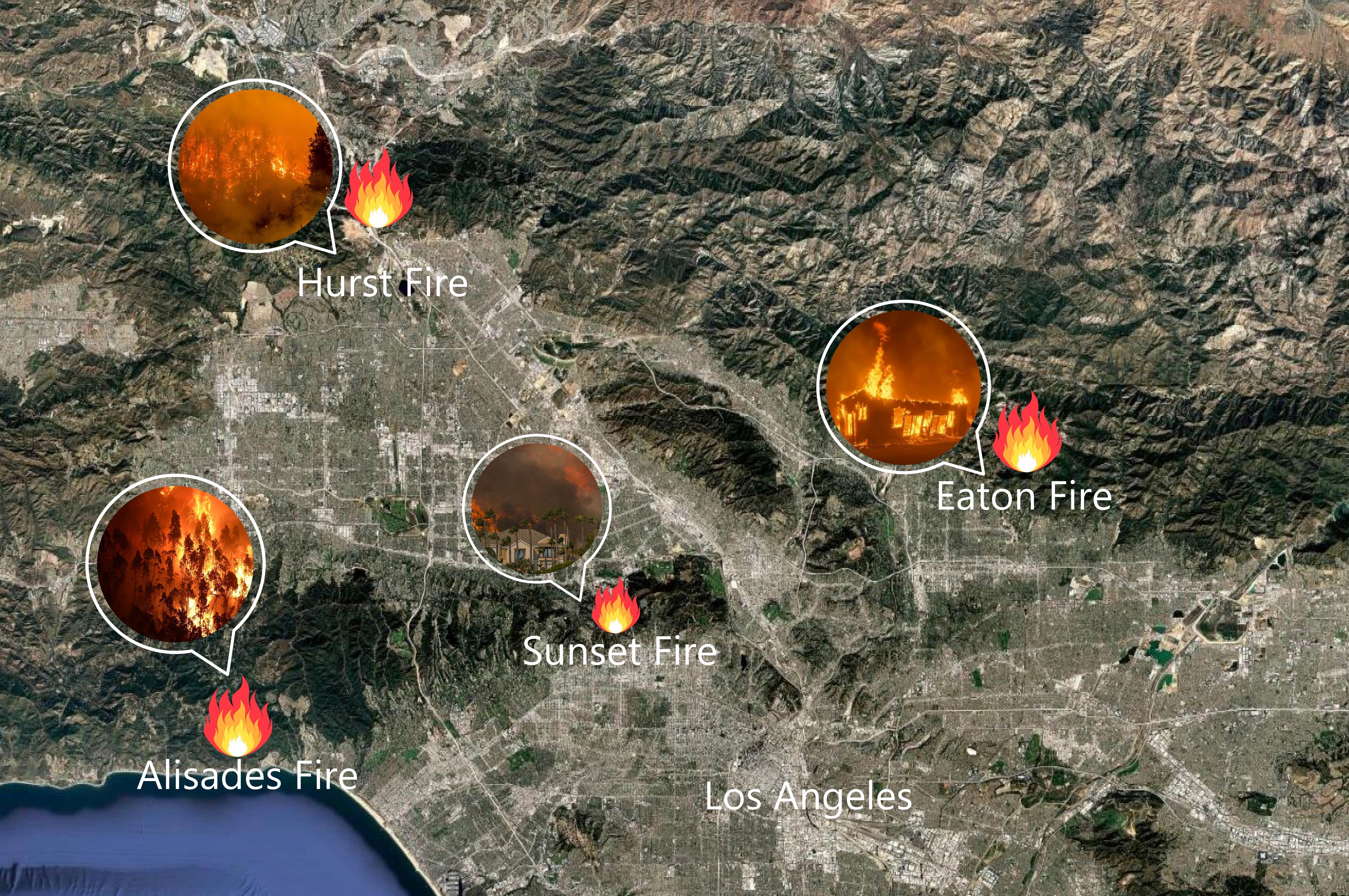
Fire Season Preparedness: GIS Powers Southern California Sheriff Departments’ Evacuations
Staff Writer | xyht
Southern California sheriff’s departments in Orange, Riverside, and San Bernardino Counties are leveraging mobile GIS applications to coordinate real-time wildfire evacuations, replacing paper maps and radio calls with streamlined digital tracking and shared dashboards. These tools let deputies log evacuation statuses and share location intelligence even offline, enhancing situational awareness, interagency communication, and public information during high-pressure incidents. By making GIS the “common language” of response operations, agencies are improving evacuation efficiency and safety across diverse and hazardous terrain.
New Carlson Viking GNSS receiver tested in early field use
Staff Writer | GIM
Carlson Software’s new Viking GNSS receiver, tested in early field use by Acorn Engineering under dense pine canopy, aims to deliver reliable centimeter-level RTK positioning where signal obstruction and multipath interference challenge conventional systems. Featuring proprietary GAMA RTK and Triple-Fix technology, calibration-free tilt compensation, and versatile connectivity, the Viking demonstrated robust performance in demanding wooded conditions. Early adopters report increased confidence in data quality and workflow efficiency, positioning the receiver as a contender for challenging survey environments.