Every week here at Geo Week News, we have been highlighting some of our favorite stories from around the internet that cover the geospatial, 3D, and AEC industries. Whether it’s a fascinating case study, insights from an industry thought leader, or deep dives into new tools, there is never any shortage of great writing and storytelling in this industry. So, below you can find links to three stories that we loved this week.
Satellite data exposes growing threat to the world's delta cities
Staff Writer | GIM International
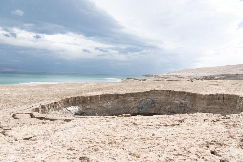
A decade of radar data from the Copernicus Sentinel-1 satellite has revealed that land in many of the world's major river deltas is sinking faster than previously thought, and in some regions the threat already exceeds the risks associated with rising sea levels.The findings, published in Nature, analyzed surface elevation changes across 40 major river deltas and found that more than half are subsiding faster than 3mm per year, with the Chao Phraya, Mekong, and Yellow River deltas among the most alarming cases. gim-international
Brave New Coordinates: What NSRS Modernization Means for Survey and GIS Practice
Staff Writer | xyHt
America's foundational coordinate system is getting its biggest overhaul in decades, as NOAA phases out NAD 83 and NAVD 88 in favor of new GNSS- and gravity-based reference frames and a redesigned State Plane Coordinate System, with a formal federal decision expected later this year. For surveyors and GIS professionals, the real challenge won't be the math, it'll be managing the transition across contracts, software, and client communication as familiar coordinates shift on paper without anything moving on the ground.
What Are (and Aren’t) Relative Error Ellipses?
Dan Rodman, PS | The American Surveyor
Relative error ellipses, the statistical tool used to measure positional uncertainty between two survey points, are increasingly embedded in accuracy standards like ALTA/NSPS Land Title Surveys, but widespread confusion remains about what they actually represent and how different software calculates them. Wisconsin PS Dan Rodman breaks down the math, the common misconceptions, and the critical differences in how surveying apps scale results to 95% confidence, cautioning that small ellipses alone are no guarantee of a blunder-free survey.