
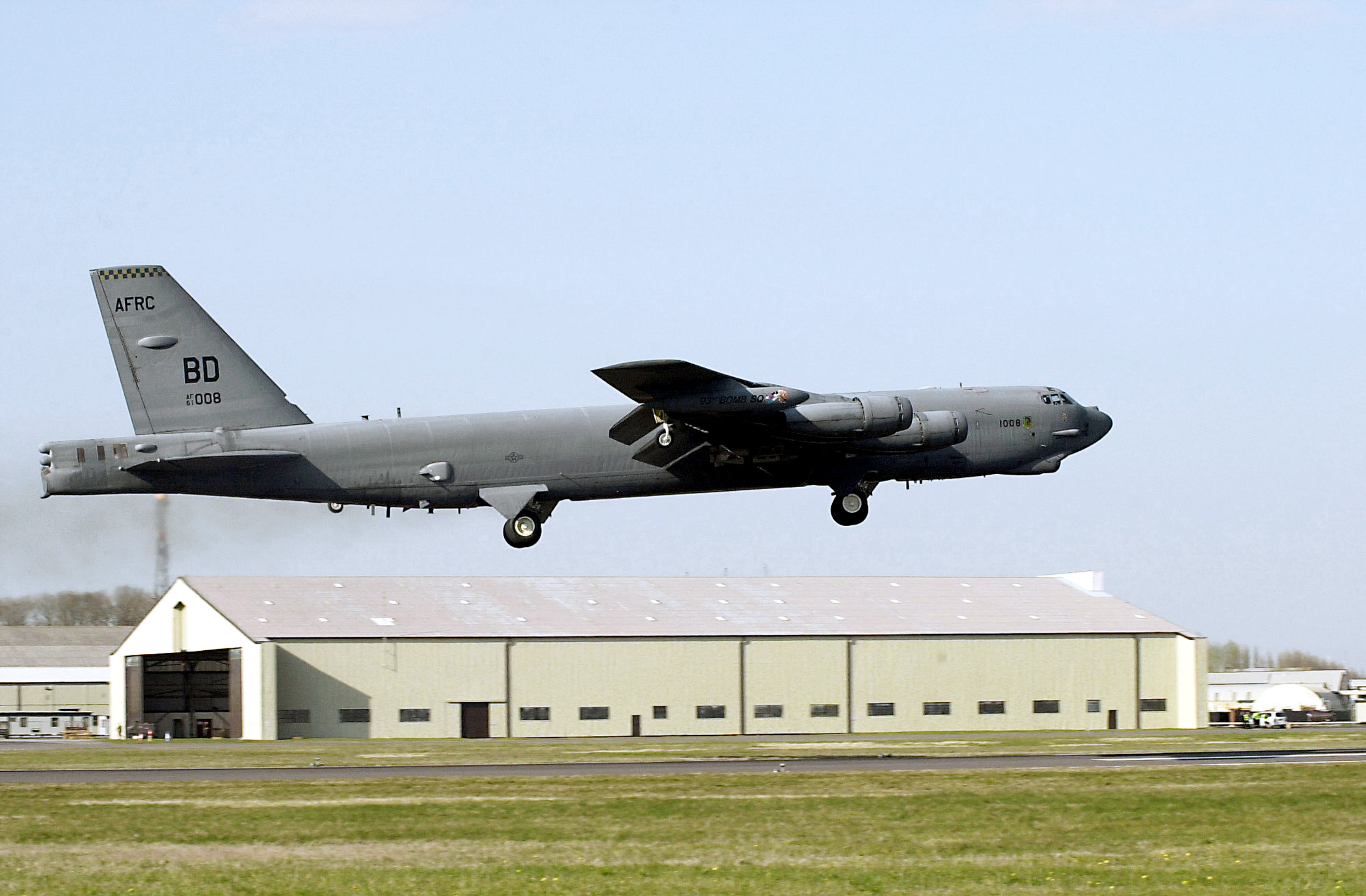
Michael Baker to use lidar for nationwide obstruction surveys
PITTSBURGH – Michael Baker Corp., an international engineering and consulting firm, has been awarded a $1.2 million task order for surveying and mapping services for the U.S. Air Force Reserve Command (USAFRC). The company will be using a combination of aerial lidar, aerial photogrammetry, conventional surveying, and 3D modeling to provide airfield obstruction surveying for several Air Force Reserve bases across the country.
“Then, building on that analysis,” said Aaron Morris, Baker’s assistant vice president of geospatial information technology, in an interview with SPAR 3D, “we’ll be developing a tree management plan for the Air Force, so they know where certain objects are penetrating the imaginary surface and need to be addressed. The goal is to leverage technology for increased flight operations safety.”
Baker will also be rendering in 3D some 1,000 individual buildings on the various bases, using the capabilities of its own internal virtual reality group.
“We’ll be using the aerial lidar data for the buildings,” Morris said, noting that they’d be capturing data at a slightly higher point density than would normally be done for this type of work. “That means slower flights, lower altitude, and higher overlap,” he said. “And we’ll be performing photo drape with the high-resolution imagery on top of all the modeled structures.”
The USAFRC has requested delivery of the entire point cloud, as well. They’ll work with it in their internal GIS department and are likely to do some of their own modeling, Morris said. “We’re providing them the big jump at one time to push them to the next level,” he said, “and they’ll take over ownership and maintenance of the data from there by themselves.”
Morris said Baker Corp. sees this project, and the indefinite-delivery/indefinite-quantity contract with USACE Mobile District of which it is the second task order, as justification for significant investment the company has made over the last two years in 3D data capture, during which time they’ve purchased both the Optech Gemini aerial lidar system they’ll be using here and a terrestrial mobile system that won’t be necessary for this project.
“We’re in business because of smart decisions and targeted acquisitions, and we need to examine the justifications for new technology,” Morris said. “It was six to eight months in looking at the technologies and testing them before we jumped in and acquired our mobile system.
“It wasn’t just something where we sat around the conference table, decided to buy, and then wrote a check. We had to make sure it would deliver the results we required. Accuracy is a hallmark of Michael Baker – surveying and mapping is near and dear to our heart. We had to know it was going to perform the way we needed it to do, so it would meet not only our internal requirements but also what our clients require.”
This project with the USAFRC isn’t particularly large for Michael Baker, Morris said, but the compressed time frame in which the job needs to be completed makes things more complicated. Since the analysis needs to be done with leaves on the trees, there’s only about a six-week window in which to complete the flyovers. Because of this they’ve brought in a subcontractor with another aerial system.
In terms of the technology and deliverables, though, “this is work that falls right inside of our wheelhouse,” Morris said. “We enjoy complex projects with a lot of components. This is one that allows us to leverage our multi-discipline environment: photogrammetry, environmental assessments, 3D modeling, traditional surveying, and tying all of that together.”


