
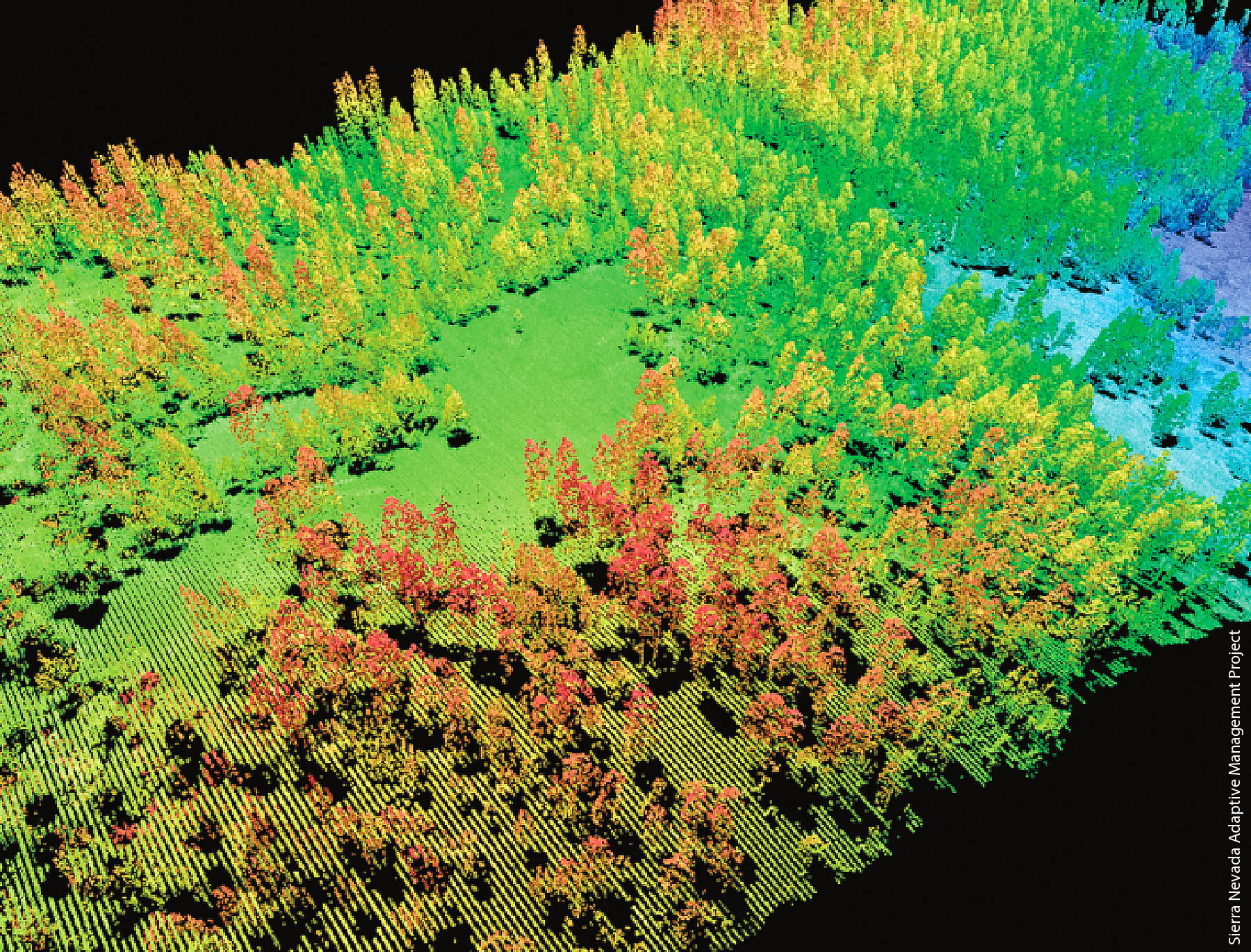
Varying customer requirements, approaches to dataset accuracy, and accelerated deadlines can all affect final deliverables – and anxiety levels. But don’t stress. Your peers are working to overcome similar challenges every day and they’ll be returning to International LiDAR Mapping Forum (ILMF) in January to share how. Keep reading for a preview of lidar data processing presentations.
1) Challenges in Rapid Lidar Point Cloud Delivery
Although lidar sensors and systems utilized for precise surveying in various fields of application are operated from significantly distinct platforms, there are common issues one must address if data delivery in a short period of time is mandatory. Join us for this presentation to examine the general challenges in the data processing chain applicable to all types of lidar, regardless of the underlying technology or platform.
2) Airborne Lidar Point Density, More to the Point
How is airborne lidar point density measured? How is it reported? What constitutes point density acceptance? You may be surprised to hear the variety of answers. It is eye opening to learn how open ended this topic is and how data density can be masked to look good despite being compromised and vice versa. This presentation will address these topics and uncover how a simple concept can be much more complicated than one would ever think.
3) Quantifying How Deliverables Change with Varying Acquisition Techniques
Attend this session for a case study presentation of data that has been processed to showcase variables of accuracy and point density and the effect on typical deliverables. Get a summary on the variation in deliverables from different data collection techniques and recommendations on minimum requirements for providing high quality and repeatable datasets for the customer’s end application.
International LiDAR Mapping Forum (ILMF), taking place as part of Geo Week, is the event to discover and discuss the latest in lidar. Join us again for unparalleled education, networking, and commercial connections.


