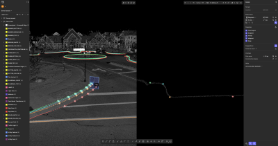
I’m not nearly ready yet to say all laser scanners are the same. In fact, I’d mostly argue the opposite: Each of the major terrestrial scanning devices have their own little quirks that make them more or less appropriate for specific jobs. When you factor in price, there are definitely trade-off decisions to be made. But there are certain jobs where they all can perform relatively well, creating a similar registered point cloud that you can then use in basically the same way. Assuming there’s a software package that does what you’re trying to accomplish.
That’s why it’s no secret that much of the next generation of innovation in the 3D laser scanning world is going to come in the development of software designed for more specific tasks and verticals. While previously the market was so small that most software manufacturers had to make software that could handle data in a general way and then work to export data that could be used by more specific packages, we are now starting to see software that allows you to take in point clouds and get to work right away. Likely, we’ll see much more of that.
It’s a topic I discussed at SPAR Europe with Matt McCarter, who works with the London Underground managing and distributing point cloud data as part of the larger BIM project they’ve undertaken. You can see my interview with him here:


