[This is the first part of SPAR’s coverage of the ILMF UAV workshop.]
Yesterday morning, ILMF exhibitors began to set up their booths, registrants piled in so quickly the lines stretched all the way back to the bathroom, and those lucky attendees who had arrived early enough piled in for ILMF’s first UAV workshop. The workshop featured regulatory and operations experts from throughout the UAV industry, many of whom have been working with the technology for more decade. During their talks, they covered virtually everything a 3D professional like you needs to know about the burgeoning technology.
Most presenters covered the FAA’s proposed regulations, which you can find commentary on here, so I’ve left those portions of the presentations out. Each presenter, however, brought a different angle to the discussion, and you’ll find quick summaries below.
UAV + Geospatial = a perfect match
If there was any doubt that the UAV companies were excited to speak before a room of 3D-scanning professionals, Airware’s Don Weigel layed those doubts to rest. “This is really exciting for me, this convergence of geospatial and unmanned aviation that we’re starting to see pop up. You’re my kind of people.”
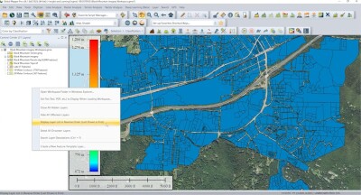
Weigel went on to explore the ways that UAV tech can help geospatial professionals see information literally as its being collected, how it allows vertical as well as horizontal inspection, faster acquisition time, multiple surveys per day and so on. By the end, those who came in curious were converted.
Who owns the sky? You? The FAA?
Brendan Schulman heads Kramer Levin’s Unmanned Aircraft Systems practice and tweets as @dronelaws, where he has become known to the public as the foremost authority on UAV law. He began his presentation by framing the issue of UAV regulations as a question of who owns the sky, and then providing a quick history lesson.
“If you go all the way back to the beginning of the country, who actually controlled that airspace? Airspace ownership in the country is considered to go with the property, so this so-called ad caelum doctrine says you own the airspace up as high as you can go, and that’s what the law was for a while. The airspace belonged to the land owner.”
It was pretty clear who had rights to the sky at this point. Then came the Wright Brothers and the airplane. “Much like drones today,” Schulman said, “where people want to fly these drones for great purposes, people wanted to fly themselves across the country, delivering mail, delivering packages, people could see this was going to be a big deal. But there was a legal problem: that flight was a trespasser, flying through private property, and that could lead to claims against the pilot, injunctions against airlines and companies flying over particular peoples’ land. It was a real problem for legal thinkers.”
Schulman detailed this legal problem, including some ridiculous solutions that were actually suggested (like requiring planes to fly over public roads, or the use of eminent domain for the entirety of US airspace). His presentation gave a sense that many of the legal issues we are dealing with now as we try to integrate UAVs into our airspace are actually a continuation of a longstanding conflict.
Probably the most crucial issue, though, is that of the FAA’s jurisdiction. Once a number of the legal issues surrounding airplanes had washed out, Schulman explained, it was established that a land owner owns the lower atmosphere around their property. The FAA’s authority stops above that limit. As he explained, FAA power “derives from a statute that directs them to make regulations within their jurisdiction, and that also refers to navigable airspace, which is above a safe altitude of flight.”
Schulman then posed a provocative question: is there a private property right to fly UAVs below navigable airspace? Is the FAA overriding this property right with their UAV regulations? Some might argue “that it’s private airspace, and I can do what I want if I’m not affecting air transport, I’m just flying something around my own farm, even if it’s for commercial purposes, maybe it’s not really FAA jurisdiction.”
As he noted, however, the FAA obviously disagrees.
Commercial UAV Expo, a new trade show and conference organized by SPAR 3D, will take place October 5-7, 2015 in Las Vegas. It focuses on the commercial UAV/UAS market in North America covering including Surveying & Mapping; Civil Engineering & Infrastructure; Mining; Construction; Process, Power & Utilities; Precision Agriculture; and Law Enforcement, Security, Emergency Response.