
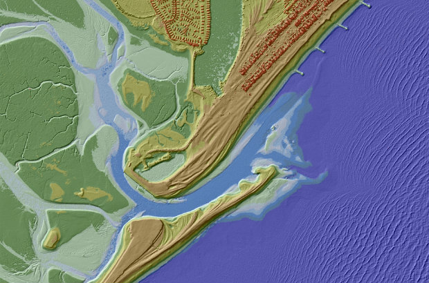
UK Environment Agency LiDAR data from an area that won’t be growing wine
Real talk. I can’t tell the difference between wines. If you blindfold me and give me two samples, I probably can’t even tell you which one is red and which one is white. You, though, you probably have a palate sharp enough to sort a pinot grigio and a pinot noir. If that’s true, you’ll be pumped to know that two of your favorite things have just collided:
Winemakers in the UK are using the recently-released LiDAR data from the Environment Agency to identify land suitable for planting vines. Currently the UK includes around 500 vineyards over England and Wales, covering a total of 4,500 acres. Incredibly, industry experts think that there are an additional 75,000 acres of land across the country that could be turned into vineyards.
Don’t get too excited about all that British wine yet, though, as no one has indicated whether any of that land is populated.
In an official statement Sir Philip Dilley, chairman of the Environment Agency, said: “This data can give unique information about a landscape that can be useful for all kinds of applications. For example, when deciding where best to plant vines, the data can provide a vital insight into the terrain to identify ‘frost hollows’ and badly drained areas that adversely affect vines.
This is the second noteworthy use of the Environment Agency’s LiDAR data, as you may remember that there was a call for the data from Minecraft users who wanted to incorporate it into their built environments.
Today’s news might also remind you of the way we’ve used LiDAR data to determine proper placement for solar panels. Patrick Collins of Exelis has demonstrated how you can process LiDAR data of a neighborhood to extract buildings, run roof terrain analysis, and find houses with enough roof surface area facing due south (which is the ideal placement according to the solar industry). Voila: you’ve identified all the buildings in the neighborhood that can power themselves efficiently using solar power.
Now, if only someone could find a way to increase whiskey production using LiDAR.


