
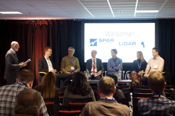
This year’s SPAR Europe and European LiDAR Mapping Forum featured too much for any one person to keep up with. So, at the end we featured a roundtable from our session moderators (they also happen to be our advisory board members) on what they thought were the biggest takeaways from the 3 days of presentations. They touched on advances in 3D technologies, like new options for capture, processing, visualization and deliverables, not to mention important developments on the horizon.
Here are 7 of the top takeaways :
1. The as-maintained is the new target
This is the topic that stuck with me, that I heard brought up again and again. As we become more accustomed to the idea of having smart models available to us at all times, it becomes a greater challenge to keep that model properly updated. After all, a smart model isn’t very reliable if the data it’s based on is already out of date. What do we do about this?
During the wrap-up session, moderator Alastair MacDonald, Managing Director of TMS International, Ltd., suggested that scanning should become a routine, but also mentioned that the breakneck development of technology these days may make things even easier than that.
It’s a provocative idea. What if scanners became so cheap that we could just set them up in every room we needed scanned and let them perform the work automatically? MacDonald suggested that it could be possible even within a few years at the rate things are developing.
2. New technology has not replaced established technology
As industry veterans will often remind you, these things are subject to the laws of physics—different kinds of hardware are better for different applications. Someday Apple may put a scanner in your iPhone that will allow you to scan your wrist and buy the right sized bracelet from an online store, but if you’re scanning an offshore oil platform for a new rack of pipes, you’re probably not going to trust your handheld phone to do the job.
I heard this mentioned more than a few times over meals, in sessions, and at events: New technologies like handheld scanners are expanding the possible uses of 3D scanning, not simply replacing the established tools.
3. There is still no magic tool
This follows from the previous point. As Marc de Bruyne, 3D Design Improvement Leader for Dow Chemical said, “I was watching the results session of the live laser-scanning demonstrations, for the scanning session that we did in the indoor environment. I came to the conclusion that it’s not simple to select one piece of equipment, and one piece of software.”
In other words, the flip side of having a greater number of incredible tools available than ever before is the increased difficulty of choosing just one.
4. The UAV is going to expand the LiDAR industry
We often discuss what the UAV is going to do for our day-to-day work, but what about the things that UAV is going to do for our industry? It will probably have an effect similar to that of the handheld scanner—driving growth.
“It’s going to be easier to collect data,” Alastair MacDonald said, “but there’s also going to be more data collected. Because if the cost per kilometer comes down, the end users are going to want data, they can afford to pay for more data. And that’s good for our business, whether we’re using it internally, within a building, or in the air, it’s all good for the LiDAR market. So I think we will see growth continuing. Perhaps not in the ways we once envisaged, but it’s definitely going to continue.”
5. These days, clients WANT you to use laser scanning
Erik Claassen, Manager of Geo-Information with Fugro, mentioned that it may have been difficult at one point to convince clients of the value of laser scanning, but these days its getting easier and easier. “Ten years ago,” he said, “we had to convince everyone about the use of laser data, and nowadays, most of our clients are becoming used to it. They expect more, at the same time. But it’s easier and we are developing new methodologies – like web-based hosting of laser data – and people don’t need to see the technologies behind it, they don’t really need to understand how we acquire the data, as long as they can use the 3D data, the imaging, that they asked for.”
6. New sensor combinations are going to make your life much easier
Alistair Duncan noted that, for instance, people are starting to combine different kinds of sensors into the same rig. For instance, he pointed out “topographic LiDAR and bathymetric LiDAR are coming together more and more. It’s helpful that you can combine those two sensors, and it will help us in the future to make a ground level of not only the ground but the depths of the waterways themselves. So that we have a complete national elevation model.”
On top of that, of course, be on the lookout for a multispectral scanner in the future, like Optech’s new Titan. Duncan was also excited about this possibility: “A lot of time we are chasing low tide in the UK to get the coastline at low tide to get maximum exposure. Which invariably is about 3am on a Tuesday in February. If at the same time, we can use an active sensor to get the spectral information we need on top of the height data at the same time, that would be really really useful for us.”
7. No More Point Clouds?
Birgitta Foster, VP Operations and Facility Integration with VDCO Tech, noted that the deliverables being created from scans are becoming much more appropriate for the users that are going to be using them, and this is going to drive a lot of change in the industry.
One slightly surprising possibility? BIM to Scan. “You know,” she said, “the model can be used — inherently — during the design and construction stage. So we’re not adding it, it’s just part of the process. But then we can actually take that data and match it up with the scan because the scan imagery is what the users are going to go for. Because that’s what customers are going to want: BIM to scan.”
The point cloud, as she noted, doesn’t often get customers excited, but at the conference she saw that “the imagery is becoming easier, faster, and clearer. And I think that’s what’s going to get people engaged with the scan.”
Marc de Bruyne noted later that he hopes someday end users won’t even see point clouds. Instead, he hopes those point clouds will be a back end, providing the right information for a more intuitive, photorealistic model.
Keep an eye out for more great insights and presentations from SPAR Europe/ELMF in the weeks and months to come as we turn conference content into monthly webinars and whitepapers via SPAR Premium.


