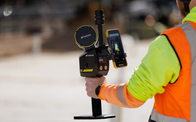
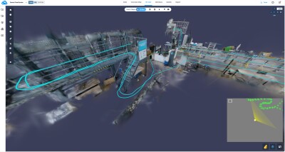
Once the announcement dropped that the UK’s 40 police forces have been granted three million pounds to purchase laser scanning systems, for the sole purpose of clearing accident scenes, people started paying attention to 3D data capture application in a hurry. But is terrestrial laser scanning even the best option for capturing 3D data at a crash scene? What about photogrammetry? What about mobile laser scanning? That’s the topic of this week’s video blog.
Recently, I traveled to New Hampshire to see first hand the ease with which state troopers capture scenes there. Could terrestrial laser scanning really be as fast and efficient? What are the accuracy trade-offs? What deliverables can be created? I learned the answers to many of those questions, but not all of them.
Luckily, we have SPAR Europe coming up, November 8 and 9 (plus some stuff on the 7th, actually), where we’ll have live demonstrations of terrestrial, mobile, and photogrammetry, all in one spot, and we’ll be able to see the results before we leave the event.
Looking for details? Watch the videoblog:
Additional Resources:
• Telegraph story looking at how the UK will be using terrestrial laser scanning to clear crash scenes
• BBC broadcast on the use of laser scanning by UK police forces
• Discussion of the use of laser scanners by police forces in the UK on LaserScanning.org.uk forum
• Virginia DOT study from 2007 on the use of photogrammetry to clear accident scenes


