


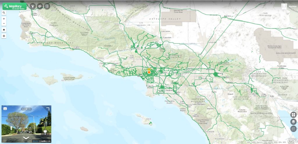
When Mapillary launched its app in 2013, the company quickly became internationally known for the neutral, independent, and crowd-sourced approach to mapping. Mapillary combined cloud, street view imagery, and mobile technology at the right moment to create an online mapping platform consisting of millions of crowdsourced images from all over the world.
Mapillary’s mobile app can be used by anyone to perform capture, whether that person is on foot, on a bike, or in a car. The resulting street level photographs can be uploaded to a collective cloud environment where they’re stitched together and mapped, creating a 2D and 3D user experience comparable to that of Google Street View. Using computer vision technology, Mapillary’s tools can recognize and categorize objects inside of the imagery, such as cars and other man-made objects. This capability is of great use for digital mapping companies that rely on fresh imagery, or open-source efforts such as OpenStreetMap.
Esri partnership
In 2015, Mapillary became an Esri partner and Mapillary street-level imagery was integrated into the ArcGIS platform.
Currently, Mapillary offers integration across the ArcGIS platform in three ways: First, there’s Mapillary for ArcGIS Online, an app available through Esri’s ArcGIS Marketplace that gives users of Esri’s cloud-based platform access to over 100 million photos captured by Mapillary’s community. Second, there’s ArcGIS for Developers, a custom widget for WebAppBuilder that adds street level imagery to applications for ArcGIS Online or Portal. Third, there’s a Mapillary add-in for ArcGIS Pro that just saw an early beta release.

The integration of Mapillary into ArcGIS proved to be very useful for improving workflows in use cases such as property reappraisals and automatic recognition of traffic signs. One great advantage is that there’s a quick turnaround of imagery. Anyone with a smartphone can download the app and collect street level imagery, that is available minutes after uploading it.
Further ArcGIS Pro integration
In July 2017, Mapillary announced an early Beta program for Mapillary for ArcGIS Pro, an add-in for ArcGIS Pro, Esri’s desktop GIS application. The add-in enables the use of Mapillary imagery and data alongside geospatial data. It does this by linking these two data types explicitly: GIS features are spatially referenced in the street level imagery, and vice versa. For the first time, it was possible to create, update, and delete features directly in street level imagery using GIS technology. A swipe feature enabled change detection over time.
Last month, Mapillary announced that 2017’s early beta release has entered public beta, offering “considerable performance improvements” compared to the earlier release. Mainly, that means vector tiles are now served directly into ArcGIS Pro, instead of being serialized into a feature layer which leads to performance decreases. The Beta Program will run for about two months and provide access to an early build of Mapillary for ArcGIS Pro free of cost. The beta release requires an ArcGIS Pro 2.0 license (or higher) and a Mapillary account.
Adventure mapping
Mapillary recently shared some user experiences that illustrating how the add on supports GIS tasks such as digitization, asset management, and reviewing initial field conditions.
Mapillary imagery is not only about the built environment. Just as Google is mapping in national parks, Mapillary users are collecting imagery of hiking trails and other types of “adventure mapping.” GIS users are also using this type of Mapillary imagery. For example, an environmental agency in Minnesota uses the add-in for a pilot study to catalog and review imagery and data about streams, extracting features from images impacting stream health.
Later this year, Mapillary plans the release of Mapillary for ArcGIS Pro 1.0. It will introduce new tools to define an area of interest and subscribe to automatically extracted data. Earlier announced features, such as accessing imagery from private repository on Mapillary, imagery filtering and additional Placement Tools will likely be made available in this official release as well.


