

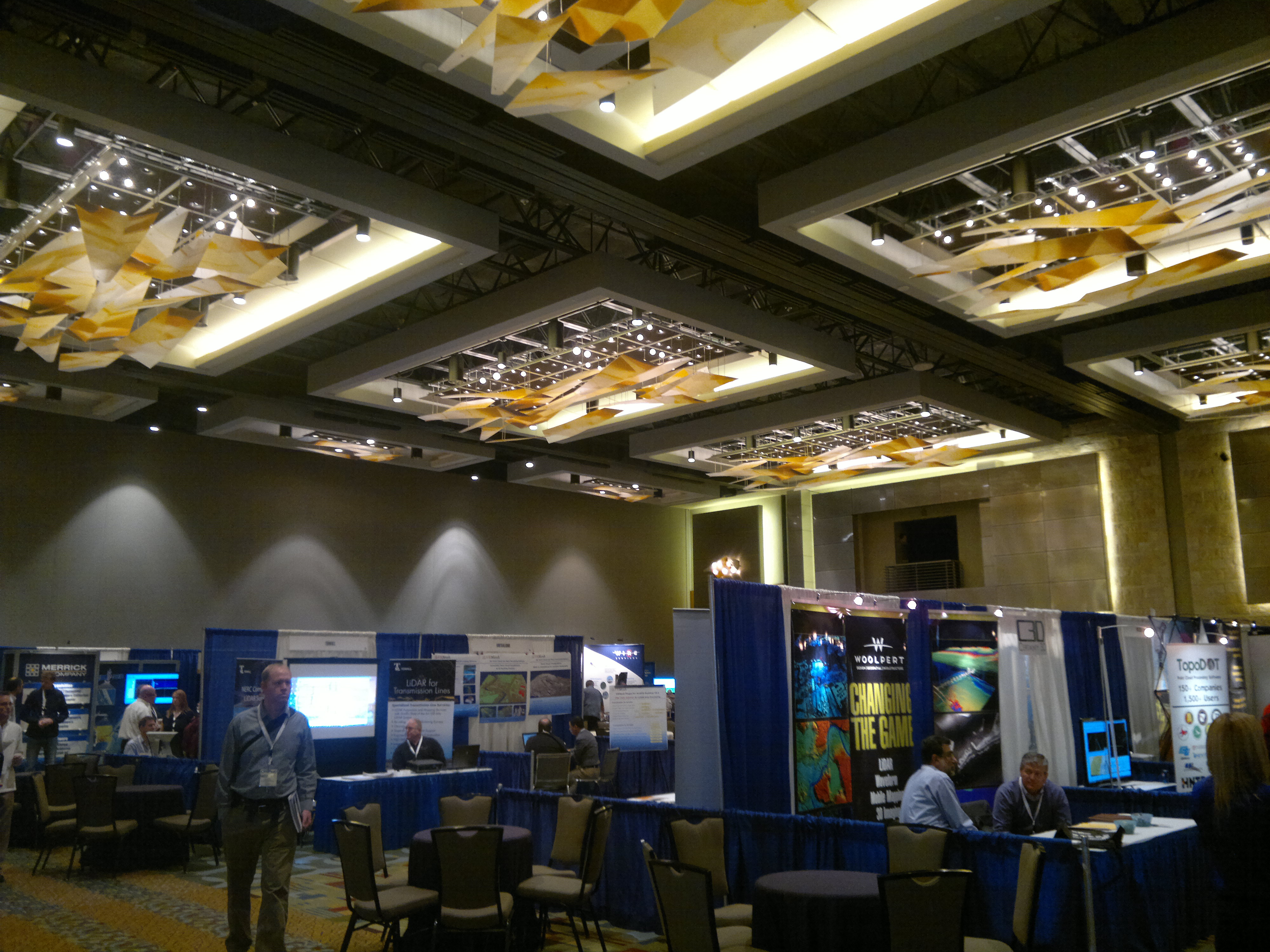
I spent most of last week at the International LiDAR Mapping Conference (ILMF 2013) in Denver, Colo. I found it to be an interesting event both for what it was and what it was not. If you haven’t ever been or if you have any interest in mobile scanning, GIS, or photogrammetry, ILMF is certainly worth a trip. So, here are my top 5 takeaways from ILMF 2013:
- This was not SPAR International. That is not necessarily good or bad, but I was quite surprised at how few people I knew at ILMF. I was aware that there is a huge split in lidar mapping between static and mobile collection methods (especially on the software side), but it was never more apparent to me than at this show. We (SmartGeoMetrics) had a booth and as it turns out we had the only non-mobile/<1cm accuracy laser scanner in the exhibit hall! There were a few companies that exhibit at SPAR (GeoDigital, Hexagon, MDL, Velodyne, Z+F, etc.), but the focus was much more on GIS level mapping as opposed to the engineering grade mapping that is so heavily favored at SPAR.
- Those GIS guys are all convinced that UAVs are the future. It was the one, “I can’t wait until…” topic that I kept hearing from people at all levels of the lidar mapping industry. The most interesting part to me was the movement away from something big enough to carry a large payload of sensors to a swarm of interconnected micro-UAVs that each had a single sensor. It certainly seems like a good way to get around some of the more persistent problems that have kept the UAV industry from going mainstream.
- GIS software has not changed much when it comes to point cloud data. One of my first projects using a laser scanner required a deliverable in ArcView. It was a nightmare, but I was assured by everyone involved that it was just a matter of time until ESRI products would have full point cloud support. Everything was going 3D and it would, too! Ehhh, not so much. It is better. But every example I saw used data derived from point clouds but not the actual clouds. The amount of middleware that was offered to bridge that gap was astounding to me. I’ve thought a lot about why development in GIS apps is so different than with CADD and all I can come up with is that it is a response to the very different user base. ESRI sells a lot of licenses to groups that don’t collect the data and to groups that only use the 2D aspect of GIS (tax collection, medical studies, political science, etc.). I guess there is a lot less of a push from their users to integrate such a raw format as point clouds.
- This may be the last year that ILMF and SPAR are so separate. With more of us moving into mobile mapping with scanners, we will be looking for software solutions that don’t rely on point normals and most of that was already at ILMF. I don’t know if more of these vendors will start coming to SPAR or vice versa but in the end all of our data is getting more and more similar so I suspect our needs will as well.
- I might be in the wrong business. While we were there, US Bank had a conference for its lower level (non-executive) employees. The bank wasn’t covering all of the expenses for the 1,600 people they had sent to the Hyatt, but considering the number of them I had to fight through to buy my $12 glasses of bourbon, I have a feeling they covered most everything else. As smart and as technically proficient as we all are I couldn’t think of many of us whose companies had 1,600 employees, much less the ability to send them all somewhere for “team building.”
Finally, if you’re wondering what the conference facilities looked like, I did happen to scan the building with my new Viametris iMMS indoor mobile scanner. Take a look:


