

Article contributed by Tony Agresta
Picture this: You’re using a two-dimensional map, performing manual calculations to survey a piece of land to try to assess its viability for a future development. But that map gives you very little useful information, and the information it does provide is likely outdated, depending on when the map was drawn. Until the mid-1900s, this was the stark reality for local governments, commercial construction companies, and organizations performing exploratory projects.
The concept of spatial analysis rose to prominence in the 1830s as a result of the second cholera outbreak that infiltrated Europe. As the disease spread throughout France, Parisian cartographer Charles Picquet was commissioned to create a map that colored the impact of the outbreak on the 48 local districts. Many others in the field of epidemiology followed Picquet’s lead and began tracking illnesses through the integration of similar imagery. This moment in history catalyzed the formal rise of what we now call geographic information systems (GIS).
Fast forward to 1963 when the Canadian government commissioned Roger Tomlinson to create a digital inventory of the country’s natural resources using the first computerized GIS. Society could now view the world in an entirely new way. The following year, SYMAP, the first-of-its-kind software GIS program, was developed by Howard Fisher while at Northwestern University. Equipped with this innovative software, Fisher established the Harvard Laboratory for Computer Graphics, an integral establishment for the advancement of GIS technology for decades to come.
Using Spatial Data in the Fight Against Public Health Crises
For many people, the COVID-19 pandemic was their first time experiencing a global health crisis. However, as previously stated, GIS has a longstanding history of application in times of increased public health vulnerabilities. Similar to the work of Picquet in addressing the cholera outbreak, the GIS technology of today proved invaluable in creating predictive and proactive infrastructure models to help mitigate the spread of COVID-19.
The spread of infectious diseases is fundamentally informed by spatial optics. GIS technologies allowed local governments and international health organizations to create accurate forecasting models based on areas where a high volume of cases were occurring in conjunction with population mobility trends to help predict its potential spread pattern. Given that social distancing and "sheltering in place" were the initially recommended ways to combat the spread, governments and world health organizations relied on spatial data to better understand migration patterns of populations around the world, while pinpointing areas of higher receptivity to the disease based on these distributions.
What’s more, these visual representations of where COVID-19 was present and the pace at which it was spreading was a critical determinant for unified response efforts. With protective supplies, such as face masks, hand sanitizer and other sanitation products scarcely easy to come by, local and national government officials could clearly identify cities and states at an increased need for government intervention and support.
The Sky Is No Longer the Limit: Using GIS to Explore the Universe
It’s been quite some time since the giant leap for mankind was taken, and yet, scientific organizations like NASA continue to build upon their understanding of our universe. How is that possible? GIS technology can be leveraged to map the terrain of planets in our solar system. Through the deployment of satellites and rovers, a well of information and data can be obtained, which allows scientists and researchers to track changes over time, enabling them to make more accurate assessments of celestial bodies and planets millions of miles away. What was once out of reach is now accessible for continued study.
There are many planets on which humankind has yet to step foot, but that hasn’t stopped researchers from using the resources at their disposal to explore from a distance. The 2001 Mars Odyssey is a prime example of the real-world applications of GIS technology. As NASA’s longest-lasting spacecraft, Mars Odyssey has been collecting data on the planet for nearly two decades. This data continues to inform the creation of the first global map that charts the amount and distribution of the chemical elements and minerals that comprise the foundation of the planet’s surface. The use of GIS technology also allows researchers to better map the physical terrain of planets like Mars, providing information that would prove useful if and when the time comes for a manned mission.
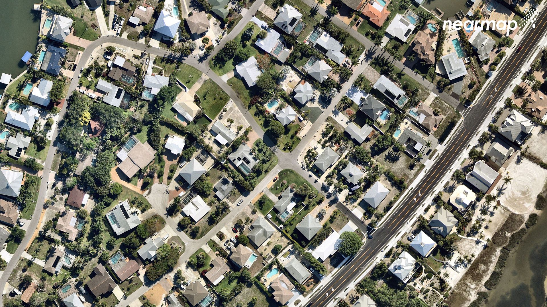
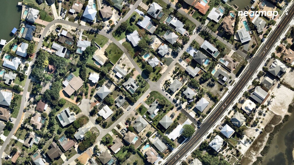
Sold: GIS Technology as a Source of Information In Real Estate
When purchasing a home or piece of property for development, there are several important considerations that go into that decision. GIS technology takes some of the mystery out of that purchase by creating detailed renderings and synthesizing relevant data that many stakeholders consider when scouting real estate.
There is much more that goes into a real estate purchase than meets the eye. While the property symbolizes limitless potential, there are always underlying risks and other determinants that sellers and buyers should be aware of to make an informed decision. Brokers, real estate agents, investors and buyers can utilize the data gathered from GIS technology to assess flooding risks, infrastructure stability, terrain quality, population of the surrounding area, demographic information and much more. Having this information readily available encourages investors and buyers to make an educated decision by assessing the compatibility of the project against these key factors. Brokers and real estate agents can, conversely, integrate this data into their marketing of these projects to create highly tailored outreach to have the greatest impact in relevant markets.
GIS technology has certainly come a long way since the creation of a color-coded, two-dimensional map in 1856. And while the advancements in this technology continue to prove invaluable, its continued capacity for impactful integration knows no bounds. Whether it’s being used by NASA for interplanetary exploration or in the real estate industry, GIS technology invites us to see the world around us from a new perspective, empowering us to make informed decisions and “bravely go where no man has gone before” from the safety of Earth.
About the author: Tony Agresta is Executive Vice President and General Manager of North America at Nearmap.


