Every week, we highlight stories from friends around the internet that put a spotlight on the latest from within the geospatial, advanced visualization, and AEC industries. These stories can take many different forms, whether they be about a new innovation or workflow, an interesting and/or unique use case for technology, or a higher-level look at the state of the sector. Today, we have stories about UAV-based geospatial data collection, the geodesy crisis, and BIM quality issues.
Find links to the full articles below.
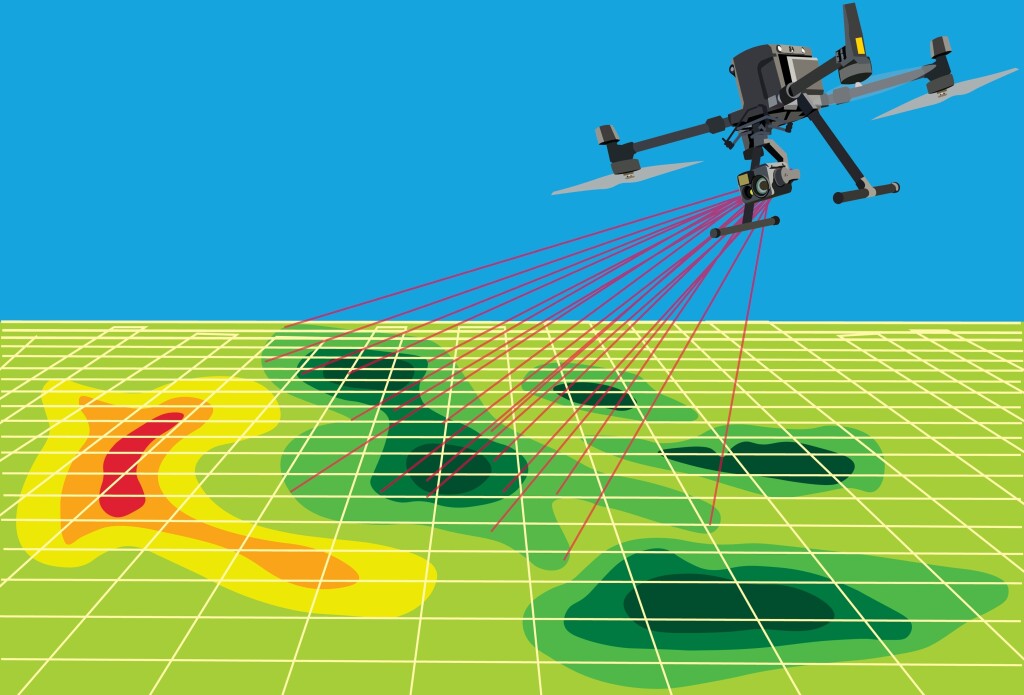
AISPECO Is Making Geospatial Data Collection and Processing Easier
Eric van Rees | Commercial UAV News
As we’ve talked about many times over the last few years at Geo Week News, the usage of UAVs for geospatial data collection is constantly growing. Drones themselves are becoming easier to acquire and use, and the payloads needed to collect the data – whether it’s lidar, high-resolution cameras, or another sensor – are consistently shrinking in size without sacrificing power. This article highlights AISPECO in Europe and how they are building platforms for this kind of geospatial data acquisition across the continent.
The Surveyor and the “Geodesy Crisis”
Tim Burch | xyHt
While geodesy forms a crucial backbone to much of the work in the geospatial industry, creating the coordinates that form the basis for nearly every project, this area often goes underappreciated. As a result, recent years have seen a decrease in experts in this area, with a lack of young professionals coming up through the ranks to fill that gap. In this article, Burch highlights why geodesy is so important, and how the industry can start to attract more young talent.
The BIM Quality Problem: What’s Broken and How We Can Fix It
Aarni Heiskanen | AEC Business
BIM has become a standard deliverable for many AEC projects across the world, but that does not mean the tool always works well for everybody. As Heiskanen points out in this article, there are often complaints about the quality of these models when going from one stakeholder to another. This article looks at both why these quality issues often arise, and what can be done to fix the issue.