

In just over two months, leading professionals from geospatial, reality capture, and AEC industries will be gathering in Denver, Colorado for Geo Week 2024. This year’s event, being held February 11-13, 2024, will continue the event’s legacy of showcasing the most innovative and groundbreaking products, while also highlighting thought leaders who continue to push the boundaries at the intersection between geospatial and the built world.
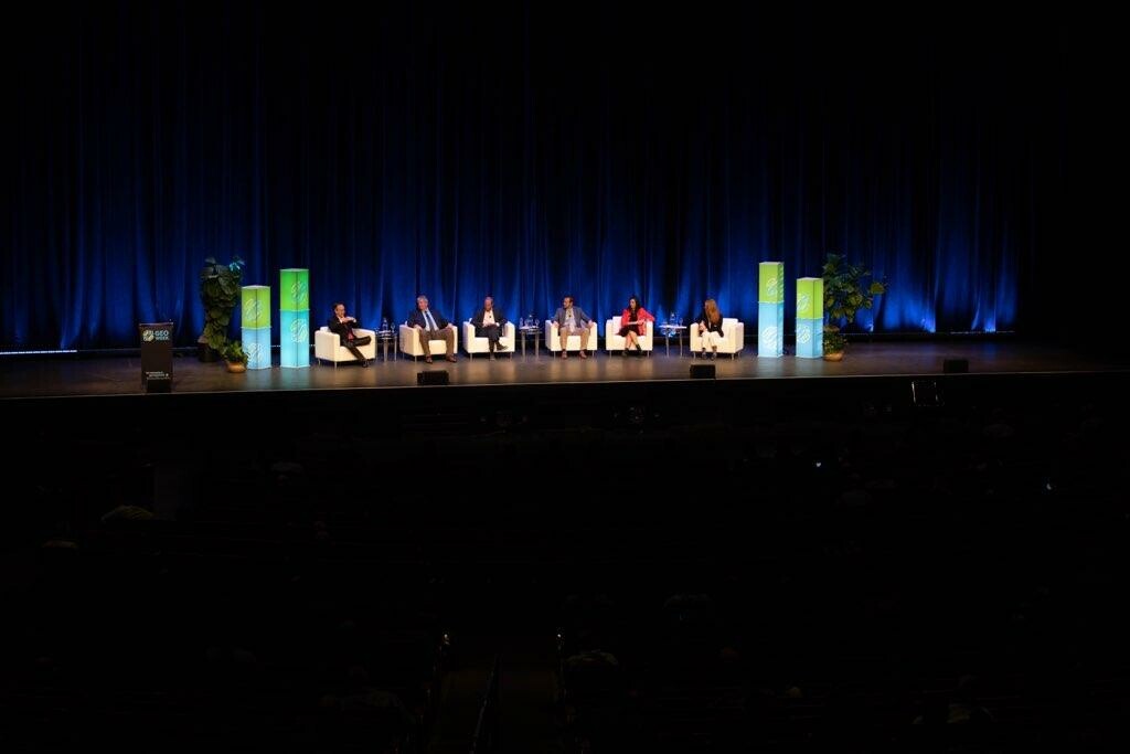
The three-day event will feature a packed conference program, touching on everything from the democratization of surveying technologies, advice on rolling out new technology-focused programs for AEC companies, how machine learning is being used in remote sensing, and so much more. The exhibit hall will also feature a host of presentations and panels on stage in the Exhibit Hall Theater, to go along with a group of over 150 exhibitors showing off their latest innovations.
In addition to all of this, Geo Week has also previously announced a sneak peek of the two keynote sessions to kick off each of the first two days of the event. As noted in November, Sunday’s opening keynote is entitled, The Bright Future Ahead: Navigating AEC, 3D, and Geospatial Innovation and Change, and will be led by Claire Rutkowski, SVP and CIO Champion at Bentley Systems. Then, on Monday, the day will start with a keynote entitled Geospatial for Good: How is Geospatial Technology Changing the World? This will feature a pair of presentations, one from Este Geraghty, Chief Medical Officer and Health Solutions Director at Esri, and the other from Ronda Schrenk, CEO of the United States Geospatial Intelligence Foundation.
Below is a bit more of a preview of the two talks, including exclusive thoughts on their respective spaces from each of the two presenters in Geo Week’s Monday keynote.
Sunday Keynote
The enterprise landscape in general has been shifted significantly over the last year-plus with the emergence of artificial intelligence, particularly generative AI like Open AI’s ChatGPT. Throw in maturing technologies and tools like virtual and augmented reality, digital twins, UAVs and other robotics, and reality capture, among others, and the way business is being done looks drastically different than even a half-decade ago.
That gets one thinking: What will workflows look like a half-decade from now? This line of thinking is particularly prevalent in industries like AEC, which have traditionally been slow to adapt but more recently have seen a spike in technological adoption. Rutkowski will be leading a panel, which will include professionals from large AEC companies like Stantec and Skender, among others, to talk through this future. It’s clear what’s on the immediate horizon, but this panel will be diving into the next step. What’s on deck? And what do those in these industries need to do in order to make sure they’re fully prepared?
Monday Keynote
It’s no secret that geospatial technology is being recognized more than ever as a major boon for businesses, unlocking new insights which can in turn open up greater revenue opportunities. However, in addition to the business applications, there are plenty of applications of these technologies – including things like GIS, bathymetry, lidar, and more – which can be used to serve the greater good.
This is the subject of Monday’s keynote, which will feature presentations from Geraghty and Schrenk, followed by a moderated conversation between the two. Each agreed to answer a few questions for Geo Week News ahead of the keynote presentation in February, with their answers shown below.
★★★
Geo Week News: In what ways is GIS being used to improve public health strategies and initiatives around the world?
Este Geraghty: GIS is really changing the game in public health, and it's doing so in some exciting ways. It covers a spectrum of efforts that link greater understanding to informed action. Remember how we all followed COVID-19 case maps? Tracking the spread of disease helped public health organizations around the world take measures to respond effectively. But there's more to it.
Let's talk about equity and vulnerable communities. GIS helps us see the bigger picture – like which areas might lack healthcare facilities or are more prone to health risks. This is critical because it's not just about treating illnesses; it's about understanding the root causes. You know, the social determinants of health such as income, living conditions, and access to healthcare. GIS can highlight these inequalities, helping us tailor health strategies to those who need them most.
There’s no question that our environment is a major player in our health and wellbeing, and with the climate changing, things are getting complex. GIS can track environmental factors that can hurt us, like poor air quality or heatwaves. Ever heard of exposomics? It's a field that looks at how environmental exposures over a lifetime affect our health. GIS is perfect for this kind of study. Plus, understanding how climate change influences disease patterns, like mosquito-borne disease is crucial. By mapping all these elements, we can predict health challenges and get ahead of them.
In short, applying GIS in health is like being a detective. It helps us connect the dots between location, health, and the environment. And the best part? It guides us in making informed decisions, ensuring that everyone, especially those in vulnerable communities, gets the attention and care they need.
GWN: Are there any recent case studies you can highlight that exemplify the power GIS and other geospatial tools can help in this area?
EG: Absolutely, there are some pretty cool case studies that show just how versatile GIS can be in the public health arena. Take the opioid crisis, for instance. In Canada and the U.S., GIS is being used in an innovative way to tackle this issue. They're setting up vending machines that dispense naloxone and fentanyl test strips, and GIS helps determine best locations for these SMART machines and provides real-time feedback on usage. It's all about harm reduction, making sure that these life-saving tools are easily accessible in the areas that need them most.
Then there's the climate angle. Over in Prague, they're using GIS to plan their fight against extreme heat, a direct impact of climate change. This is not just about cooling down the city; it's a health initiative, too. Extreme heat can be a serious health risk, especially for the elderly and those with chronic conditions. By mapping heat islands and public health data, they're figuring out where to plant trees and create cool spaces to protect people's health.
And here's another fascinating one: Researchers are diving into environmental health, using GIS to explore the link between environmental exposures and ALS, also known as Lou Gehrig's disease. It's a heartbreaking condition with no known cure, and understanding its causes is critical. By analyzing spatial data, they're trying to figure out if there's a connection between certain environmental factors and the development of ALS. It's a prime example of how GIS isn't just about maps – it's a tool that can potentially unlock mysteries in public health.
GWN: Looking ahead to the future, in what ways could this technology be further utilized to accelerate public health initiatives?
EG: As we look to the future, the potential for GIS and geospatial technology in public health is boundless. One key area is the integration of AI and machine learning, which can enhance predictive modeling of disease outbreaks and health trends, enabling more timely and effective responses. The evolution of real-time GIS will also play a significant role, offering dynamic data analysis for immediate decision-making. We can anticipate a greater emphasis on personalized health strategies, where GIS data, combined with genomics and health records, can tailor health interventions to individual needs. Moreover, the expansion of GIS in mobile health technologies can revolutionize remote health monitoring and accessibility, particularly in underserved regions. Lastly, as we face the challenges of climate change, GIS will be vital in understanding its impacts on public health and in developing adaptive strategies. In essence, the future of GIS in public health is one where data-driven, precise, and anticipatory approaches become the norm, leading to more resilient and healthy communities worldwide.
★★★
GWN: What are some ways in which geospatial tools are being used to address issues around climate change and other types of problems which are felt by populations around the world?
Ronda Schrenk: Climate change is destabilizing life around the globe. Geospatial tools are crucial to monitoring the worsening effects of this existential threat and providing insights that support evidence-based solutions. The data derived from these tools helps us understand both the scope of the problem and what needs to be done to prevent further catastrophic damage wrought by climate change through deforestation, sea level rise, extreme weather events, and more.
GWN: Building off of that, which specific tools and technologies have come into favor in recent years to address these issues?
RS: Progress in tracking these perilous developments has accelerated in recent years thanks to improved satellite imaging and ground-based remote sensing; they provide critical data, analysis, and visualization capabilities. Geographic Information Systems enable reliable climate modeling to help drive policy decision-making. GIS is also used in renewable energy planning and precision agriculture to optimize resource use in farming. And it plays a role in urban planning to help achieve carbon emission goals, protect vulnerable coastal communities, and develop infrastructure that is more resilient to extreme weather, drought, and other climate risks.
GWN: Looking forward, are there any ways in which you foresee the geospatial industry being utilized even more to help address the biggest challenges facing our planet?
RS: In the coming years, the geospatial industry will become even more crucial to contending with climate change, disaster management, resource scarcity, and related global security issues. Analyses based on the use of these tools may lead to ways to help individuals conserve water more efficiently, communities to create more treescape and parkland, and global powers to better manage water and air pollution. They could lead global organizations such as the United Nations to coordinate regional and international coalitions to take bold steps that sustain our planet. The vast array of currently available technologies will only improve with time, in turn improving our options for addressing climate change.


