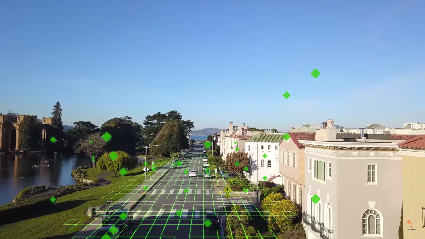
Civil Maps’ Fingerprint Base Map is a new step in disrupting the current market for autonomous cars and data collection. Whereas most car-mapping companies collect high-quality data through a wide range of sensors with the intent to deliver and update an HD map in real-time, Civil Maps takes a different approach.
Early on, the company realized that processing of multiple lidar data sets took too long to process, and therefore was not scalable. It started looking for ways to process data at the source rather than pushing it into the cloud. When mapping for the automotive industry became big, their answer was to process the data at the same time and place it was collected: on the edge, in the car itself.
Unfortunately, processing data inside a car didn´t prove to be very scalable either, as basemaps were still very detailed and therefore contained a lot of data. The next step was to create basemaps that were less heavy on data while at the same time covering a larger area. This automatically expands the car’s range, as it has a larger basemap area to work with than before. This makes the basemap more useful for long-distance trips offered by ride-sharing services, for example.

Civil Maps’ Fingerprint Base Map, which was presented at CES 2018, offers a robust, scalable and precise solution for autonomous vehicle mapping and localization that forms part of the company´s HD semantic map. The basemap can be updated in real-time and performs in challenging weather situations as well.
Explaining the technology behind the product, the company compares it with the Shazam technology for recognizing songs with your smartphone: An app grabs an audio snippet of a song, consults a database and when there´s a match, information about the song is passed to the user from the database.
Civil Maps’ new product uses two cars to perform the same process: One car creates the Fingerprint Base Map, collecting raw lidar data and processing it to produce light-weight voxel-based fingerprints (100-300 kB/km) to store in a refence database. The second car uses this database to localize itself.
This approach means the car has less data to be download when making use of the final basemaps, which results in a smaller payload and cost savings on hardware. The company claims that basemaps can be download through 3G and 4G cellular systems or cached when reception is poor.
Addressing accuracy that is obtained with the new product, Civil Maps claims that it as been able to localize vehicles in six degrees of freedom (6DoF) within 10 cm accuracy via their maps. The ‘six degrees of freedom’ (or simply ‘6D’) address the vehicle´s movement axes (x, y, z) and rotational axes (roll, pitch, yaw). Civil Maps has been working on techniques to localize a car in 6D and combine it with their 3D semantic maps, which result in safer driving and smarter decisions taken by the autonomous vehicle.