A partnership between Carto and Mapbox doesn´t come unexpectedly, as both companies are well-known providers for different parts of the location tech stack, and both embrace open source mapping technology. Both have made contributions to open-source location technologies in different ways.
While there are commonalities between some of the companies’ offerings, there are also differences in technology: whereas Mapbox has been dedicated to providing data-streams and services such as vector basemaps, geocoding, and point-to-point routing, Carto has focused on analytics, spatial data science, and vertical-specific solutions built for business users.
The core of the new partnership is the integration of Carto analytics with Mapbox location data services. This offers new insights to business users, for example, by injecting streams of cellular data with analysis functions and data from Carto´s Data Observatory. Carto users, likewise, can make use of Mapbox’ high-resolution satellite imagery and performance, so that map data can be rendered at video-game speeds.
For clients of both companies, this partnership means there is no need to choose between the two, which creates a complete and modern location technology stack to solve business problems. The integration and open source approach all work toward the goal common to both companies: to deliver the ability to derive business insights from spatial data.
Integration points
Since January, the companies have undertaken a number of integration initiatives. For instance, CARTO enterprise accounts that use certain geocoding and routing services will also be using Mapbox Location Based Services (LBS), as Mapbox is now Carto’s default provider for such services. A second integration is the support for Mapbox Vector Tiles using Carto Engine, a one-stop shop of geospatial tools, services and APIs for the rapid development of location applications.
While vector tiles in itself have been supported in Carto´s mobile SDK since its inception, the novelty is that both Carto Builder and Engine are now optimized for mobile web-app viewing, so that Carto users can enjoy dynamic vector support directly from Carto´s APIs. Mobile users will now get a better experience regardless of how an application is delivered. Up until now, each tile had to be pre-rendered with additional software when building vector maps or applications. With the integration, vector rendering in Carto happens on-demand, directly from the database. This means that live data can be analyzed and rendered as vectors on-demand, making location applications more responsive to changing business needs and data.
3D capabilities
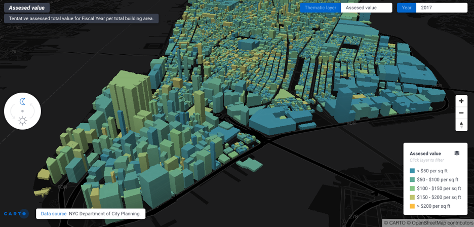
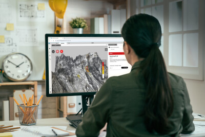
Whereas Carto’s visualization tools until now mostly used 2D maps, the company has recently moved towards 3D. For example, data that contains elevation information (such as building height) can already be visualized and worked with in Carto. However, the Carto/Mapbox partnership opens the door for integrating more 3D capabilities into the Carto stack. An example would be the integration of lidar: Mapbox has recently published tutorials for creating lidar-based maps using Mapbox technology. Carto is currently duplicating this integration, but is not ready to publish the delivery timeframe yet.
In the meantime, Mapbox has been expanding its activities in areas such as augmented reality, 3D mapping and autonomous driving space. Using the Mapbox Maps SDK for Unity, high-performance feature querying is now possible in 3D maps. Rooftop UV mapping, a 3D texture modeling process that projects a 2D image to a 3D surface, is another recent SDK use case. Mapbox’ maps and location services were integrated into Bright Box’s Remoto connected-car platform last February, enabling enterprises and their customers to track a car’s location and performance in real-time. Last January, Mapbox acquired the open source routing software company Valhalla to expand its navigation activities. More integration between Carto and Mapbox technology is expected later this year.


