Geospatial data comes in a number of different forms, whether it be lidar or imagery, and whether it’s captured from the ground, air or space, and whether it’s captured by a human or some sort of uncrewed vehicle. Every form of data and capture has its own utility, and the growing number of options – along with the increasing accessibility to these different options – is making the jobs of surveyors and other geospatial professionals significantly easier. Right alongside those benefits, we now have more industries that are taking advantage of this data to improve their efficiency, getting to the crux of our coverage here at Geo Week News.
Today, we’re looking at some stories from friends around the geospatial industry highlighting many of these new realities. Whether it’s making the lives of surveyors easier, or improving the work of ostensibly non-geospatial industries, or some combination of the two, this is one of the most interesting spaces in business today. This week we start with a look at how aerial imagery is working to make surveying simpler in Denmark. Then, we look at lidar being used to uncover more information about American history. And finally, we have an article highlighting the role of geospatial technology in connectivity. Find the full articles below.

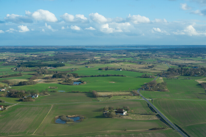
How aerial imagery simplifies surveying workflows in Denmark
Martin Rosengreen | GIM International
Although the improved cost margins and power associated with drones and imagery captured via payloads on said drones have made those tools a massively important part of surveying, there is still plenty of utility around aerial imagery collected with crewed aircraft. Typically, of course, much more powerful cameras are able to be carried with these aircrafts. This article dives into how aerial imagery is helping to simplify surveying workflows in Denmark. More specifically, it highlights Denmark’s Digital Orthophoto (DDO) project, which they say has been a “reliable historical record of Denmark’s geography since 1995.” Rosengreen says the DDO project “is a good example of how the evolution of airborne technology has had an impact on the understanding and utilization of the country’s ever-changing landscape.”

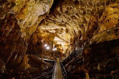
Lidar Brings Monticello into Focus
Brad Barker, Derek Wheeler | Lidar Magazine
In these “Around the Industry” articles, as well as some other original articles put together by Geo Week News staff writers, we’ve seen plenty of coverage of how lidar mapping is being used to better understand history. Most of the time this is involving history from quite a long time ago, with the most prominent recent examples often revolving around ancient Mayan civilization, where many new insights are being uncovered thanks to lidar’s ability to penetrate vegetation associated with the region’s rainforests. It doesn’t always have to be ancient history, though. In this article, Barker and Wheeler showcase how lidar is being used to help make new discoveries and provide more context around life at Thomas Jefferson’s Monticello.

The Growing Role of Geospatial Technology in High-Speed Connectivity for All
Linda Duffy | xyHT
Having access to high-speed internet connections is now a necessity for life in much of the world, with everything from education to employment often at least partially relying on these kinds of strong connections. It’s also a trend that doesn’t figure to recede at any time looking forward. However, there are many rural areas around North America that still do not have reliable access to high-speed connection, but that’s something that is being addressed with the help of geospatial technology. In this article, Duffy highlights an initiative in Ontario, Canada looking to provide fiber-to-the-home connection across the entire province, and how mobile mapping is becoming a key part of that work.