Something we’ve talked about quite a bit over the last couple of years at Geo Week News is the democratization of various reality capture technologies, be it the capturing tool itself, the software to process it, or the equipment to which tools like scanners and cameras can be attached. The knock-on effects of this trend have been plentiful, but one of the biggest ones is the expanded use cases that benefit from this technology. As these tools become both more affordable and easier to use, new industries can start to more easily reap these benefits. That’s not to say that there aren’t plenty of uses that still require high-end technology and/or highly trained professionals. They just aren’t the only use cases remaining.
Today, we look at a few stories that highlight the ways 3D technology, and reality capture tools, are benefiting an array of sectors and industries. First up, we have a look at a group of university students and researchers who are using laser scanners to produce 3D digital replicas of a historic park. Then, we look at international environment monitoring with the mapping of lava flows in Iceland. Finally, we go to the enterprise sector with a look at why accurate 3D scanning is so important for digital twins. Find the full articles below.
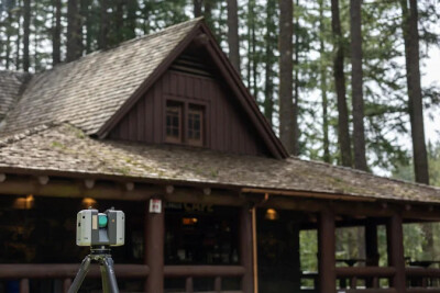
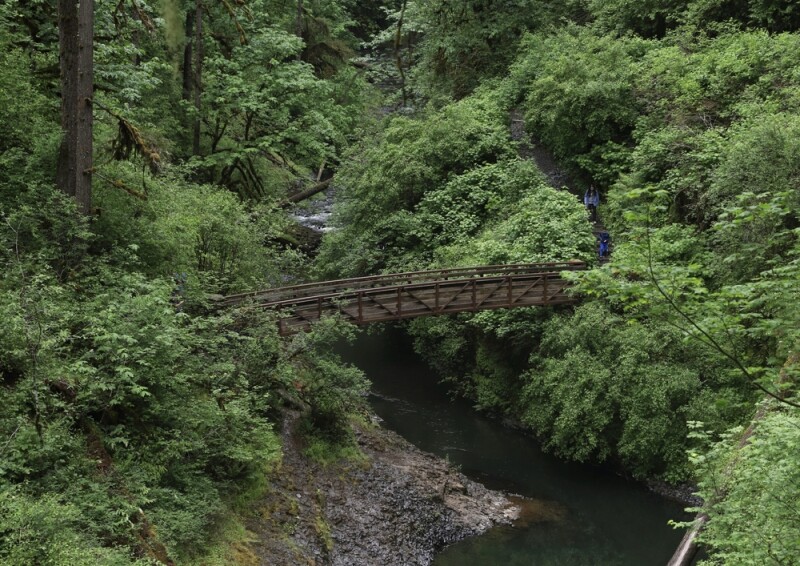
Preserving a legacy: OSU researchers use 3D scanning to map historical structures at Silver Falls State Park
KTVZ
We start off looking at a project being undertaken by a team of students and researchers at Oregon State University. There is some overlap between this team and the one Geo Week News recently spoke with about their work around helping to modernize the National Spatial Reference System, but this project hits a little closer to home. In the linked article, you can see how this team is using laser scanning technology as well as photogrammetry to help produce 3D digital replicas of historical structures in Oregon’s Silver Falls State Park. The article delves into why this kind of work is so important, and the workflow that was utilized to finish this work.
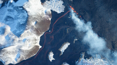
Mapping lava flows during volcanic eruptions in Iceland
Phase One
Generally speaking, when we think about large-scale environmental monitoring, a lot of this work is being done with satellite imagery and other Earth observation data. Here, though, we have an example of photogrammetric techniques being utilized for this work. This article revolves around work being done in Iceland, a country with many volcanoes and which is described in this article as being “a hotbed of volcanic and seismic activity.” It’s crucial to have a strong understanding of the environment and how lava flows, and to do this the Icelandic Institute of Natural History runs a photogrammetry lab to map these flows around the country.
Read the full article below >>
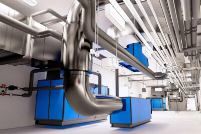
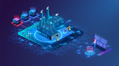
High-Quality Scans Are Key to Unlocking the Full Potential of Digital Twins
Franco Faraudo | Propmodo
When we talk about digital twins, a lot of the time we focus on some of the operational benefits of these workflows. The discussion often centers around an already completed model being fed real-time data with which managers and other stakeholders run simulations and make key decisions. However, getting that model is obviously a crucial piece of it and should not be underplayed. This article delves into that piece of the workflow, looking at the importance of not only capturing this data, but ensuring these scans are of the highest quality to unlock the most value from your digital twin.