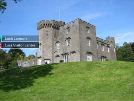
Some interesting things happening on the geological and historical preservation front at Loch Lomond and Trossachs National Park.
First, I came across a too-short article from Survey Equipment about 3D mapping being done of the body of the Loch itself.
Prior to the new survey, carried out by the British Geological Society (BGS), the 24-mile-long inland lake had last been mapped in 1861, using a very basic yet exceptionally accurate plumb-line method.
The BGS spent three months carrying out the survey, using two multibeam echosounder transducers, which were capable of transmitting and receiving millions of soundings every hour. The surveyors gathered the information produced with a GPS device and a motion sensor, which accounted for the movement from the boat on which the equipment was set up.
They say that they’ve produced “detailed 3D images,” but we don’t get any, which is kind of a bummer. I’m going to look a little further into this. Underwater 3D work is all of a sudden the rage, with a number of laser scanners all of a sudden hitting the marketplace, along with firms like BlueView Technologies working with sonar. It’s like the next frontier in 3D imaging is finally being tackled.
But Loch Lomond and Trossachs is already solidly on the 3D train. Check out this new capability they have at their visitors center. The virtual tour looks pretty sweet, with a specially designed joystick that allows visitors to fly through the park, learning about important sites should they decide to “land” and check out particular areas. There are cool functionalities to come, as well, including the ability for a visitor to text him- or herself information about the attraction they’re looking at in 3D.
It doesn’t say how the building images were gathered, but I’m guessing laser scanning, judging by the detail. Think every national park in the world represents a healthy market?


