

Happy New Year!
I was listening to the Arts Hour on the BBC World Service this morning, and the panel was discussing changes to the technologies used to shoot films around the world. We are in an era where digital photography now enables us to shoot movies in 4k using consumer-grade SLR cameras (and there was a Bollywood movie shot entirely on an iPhone), and the panel described these changes as leading to “democratization” of the film industry. That is, these changes enabled people to shoot movies that Hollywood would not have traditionally supported.
Democratization: Now, where else have we heard that term recently…?
“Democratization of reality capture” is a tagline that we have heard through 2016 from firms such as Leica (with respect to the launch of the BLK360) and Matterport. I interpret this as the notion of expanding the user base that can undertake the “dark art” of 3D imaging. It means enabling users at organizations with a diverse range of skills to add 3D data capture to their toolset.
Handheld devices such as the DotProduct DPI-8 and the GeoSlam ZEB-Revo are gaining momentum, moving the work from the scanning bureau to the construction foreman. Moreover, the rise of the drone is already well documented, with 23,000 new commercial UAV pilots certified under the FAA’s Part 107 program in the US since last August. This brings significantly more new users who might not have undertaken 3D-imaging projects before.
Augmented Reality (AR) devices such as the Hololens are enabling new users to visualize 3D data, and in environments that allow better interpretation than a traditional 3D CAD package. Similarly, Google’s Tango Project is now seeing uptake among consumer devices, with Lenova’s Phab 2 Pro being launched in 2016 and ASUS’s new Tango-enabled version of their Zenfone.
Now, democratization of 3D imaging is taking the technology into a wider range of applications. That means, away from more traditional topographic survey or landscape modeling applications, or even applications within the film industry, we are seeing real estate touted as an industry ripe for growth.
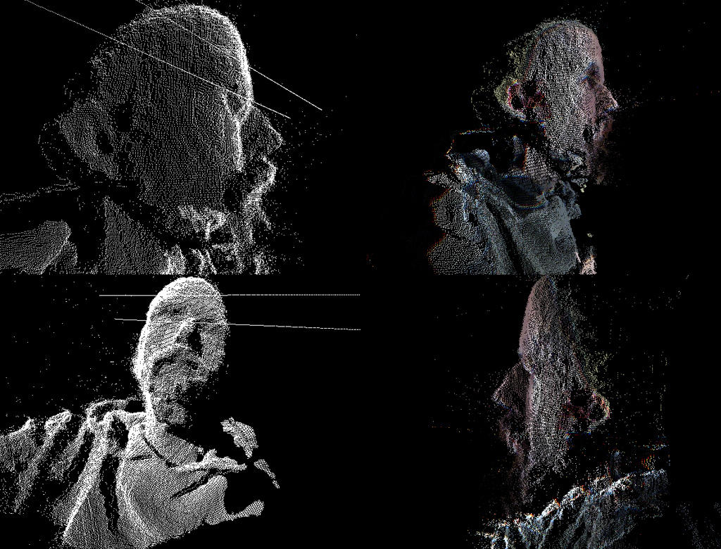
Increased 3D capture; should it reflect reality?
What this “democratization” that we see has done is allow us to appreciate data being fit-for-purpose, as opposed to being “exact.”
A background in conventional laser scanning usually leads us to being obsessed with accuracy specifications, and we infer that higher accuracy data better reflects reality. Now, in many contexts, we are willing to accept rapid, approximated solutions for visualizing data that we collect in a realistic manner, with the fewest number of button-clicks. Consequently, in 2017, I’m sure that we will see an increased number of cloud-processing solutions that help us represent 3D models and share them with our customers.
Adjusting our expectations so that we are undertaking processes that are fit-for-purpose, or working within the bounds of a project–rather than chasing the micron–are all perspectives that I applaud. We should not be chasing perfection when a partial solution brings valuable efficiency improvements. This is an approach analogous to those movies being shot to lower budgets.
Increased opportunities for misuse?
What I object to is when this increasingly diverse user-base sees how 3D imaging workflows have become faster, easier to use, and cheaper–and thinks these technologies are so advanced they now can produce results that reflect reality.
A favorite gripe of mine is the current trend for laser scanning sensors that were originally designed for automotive applications being used on UAVs for survey applications. The size, weight and price of these sensors is certainly attractive. However, please don’t try to persuade your customers that you are collecting “survey-grade” data (typically within 5cm/2inch absolute accuracy) when your sensor’s relative accuracy is already specified as +/- 3cm. Similarly, if you are now a user of a cloud-mapping service, please do not automatically think that this means that you can now start calling yourself a land surveyor.
What I hope we see in 2017 is an increased understanding–among all users–of both the benefits and the limitations of the new tools that we have at our disposal. Let’s place a greater emphasis on quality assurance tools that enable us to assess if our 3D model is what think it is (or where we think it is). If our deliverables are not exact, then that is perfectly fine.
Faster and cheaper methods of 3D capture enable asset owners to make decisions faster, project managers understand if they are on budget with less work, and help engineers to understand trends quicker. Similar to the movie industry, we are able to undertake projects that may very well have not been considered before. All these outcomes are brilliant for the 3D-imaging industry.
But let’s ensure that, as users or customers of 3D imaging, we are not led to think that something accurately reflects reality, when we can’t be sure it does.


