
While the Geo Week New Product Gallery and Product Previews provide a sense of the scope and breadth of solutions that were on display across the exhibit floor of the event, the Pitch the Press session gave attendees and members a sense of the most unique and innovative new solutions that were showcased at Geo Week during this session.
The winners of the Pitch the Press event have already been announced, with three standouts for reality capture, collaboration and data visualization being chosen among 16 competing products. However, the value that all of these products can enable and represent are worthy to explore.

AirWorks Automate is a patented machine learning algorithms that can autonomously identify and categorize points in a dataset such that our software can generate useful linework for AEC/land surveying companies. Traditionally, it took complex computers, special software, and hours of engineering work to create engineering plans from aerial data. With AirWorks, you don’t need any of that. Through this technology, CAD drawings are delivered in record time thanks to the support of quality control engineers that ensure every drawing they deliver meets their client’s existing standards and expectations.
One of the 2022 winners, Avatour is a real-time, 360° collaboration platform that connects remote users with the full context of a real-world site, enabling more effective virtual inspections, tours, training and more. The cloud service uses off-the-shelf hardware to provide real-time communication via a web browser or optional VR headset. Avatour isn't just designed to provide a better videoconference, but is instead intended to be a different tool for the very different world that we’re living in with teams that are located across the planet who need to collaborate as if they were sitting next to one another.
Global Mapper Pro from Blue Marble Geographics is the latest addition to the family of Global Mapper programs. Global Mapper Pro incorporates all of the powerful point cloud processing tools previously available in the now-retired Global Mapper Lidar Module, and expands the functionality to include more terrain analysis and automated tools. Including a Script Editor dialog for building scripts and new Python integration, Python developers can access and use Global Mapper functions through Python scripts and environments. These capabilities have positioned is as a powerful, affordable, and flexible GIS software.
A very lightweight and compact all-in-one sensor, the AlphaAir 450 from CHC Navigation can easily achieve an absolute accuracy of 5 cm (vertical) and 10 cm (horizontal) for small survey areas. Featuring internal IMU, GNSS, 3D scanner and camera, the AlphaAir 450 solution is widely used for power line inspection, topographic mapping, emergency response, agricultural and forestry surveys, and more. Easy to use for rapid deployment in the field, the light weight (1 kg) of the unit enables longer the operating time of the drone, directly enabling greater productivity.
Another 2022 Pitch the Press winner, NavVis VLX is a mobile mapping system designed for laser scanning and AEC professionals that enables high-quality reality capture of complex buildings and construction sites. Up to 10 times faster than a terrestrial laser scanner, NavVis VLX can tackle anything from complex indoor spaces with challenging light conditions to outdoor environments and construction sites. NavVis VLX is powered by precision SLAM technology that is changing expectations across multiple industries.
Clirio is a mobile app for instantly capturing, sharing, reviewing, and resolving worksite field observations, issues, or updates. It allows users to take command of their scattered field data with Clirio's map-based Site Information Management system (SIM) and "walk the site" at any time to review geo- and timeline- referenced observations with a sense of time and place. Teams can collaborate as a group in a live, remote, virtual holographic meeting around one or more 3D scans from within the app. Clirio is designed for nimble, quick, and easy true-3D LiDAR capture and sharing of issues in the field that matter in the moment. This can be done by anyone on the team, using only the phone in their pocket or the tablet in their backpack.
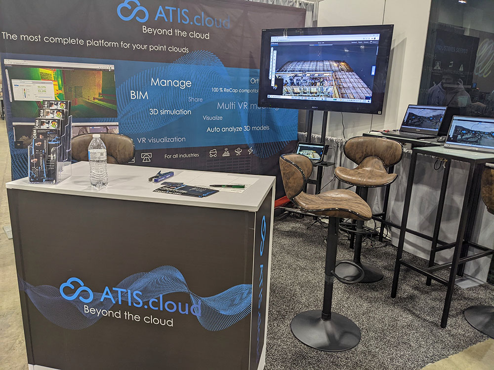
ATIS.cloud is a powerful tool that allows users to host, manage, share and visualize their point clouds in an especially simplified manner. The application is designed to meet the needs of all the fields of Reality Capture. ATIS.cloud is the only platform that directly facilitates the exploitation and valorization of point clouds working with structured and unstructured data.
A special mention in the Pitch the Press release, the Earth Archive Initiative is a US-based non-profit focused on 3D scanning (airborne LiDAR) the planet’s surface to create an open-sourced digital twin the Earth Archive is a scientific effort focused on creating a digital twin of the planet using airborne LiDAR starting with areas that are most threatened. The Earth Archive will serve both as a record of the state of the planet as it exists now, to help scientists better understand how it is changing, and as a “virtual planet” that can serve as a precious gift for future generations.

A previous Pitch the Press winner, Hovermap from Emesent is a smart mobile scanning unit that can be mounted to a drone to provide autonomous mapping in challenging, inaccessible areas. Hovermap is not only for drone use, as its flexible design allows it to be used for walking, vehicle or backpack-mounted scans. Equally capable above ground or underground, indoors or out, Hovermap is a complete mobile LiDAR mapping solution. Weighing only 1.8kg (4 lb), it is easily portable and compatible with smaller drones such as the DJI M210.
 The Mosaic 51 is a purpose-built, AI-compatible, rugged 12K-resolution 360º camera for HD mobile surveying, GIS, railway and infrastructure inspection. With a built-in computer it’s meant for the road, no matter the terrain or climate. Additionally, the Mosaic X offers a more robust and more economical means for users to collect the data typically only accessible with expensive LiDAR systems.
You can learn more about Mosaic via our interview with CEO Jeffrey Martin that took place at Geo Week.
Nearmap AI is a regularly updated vectorized map with true location insights, derived from Nearmaps high-resolution vertical and oblique imagery. This location content is 99.9% precise, reliably up-to-date and processed at scale, instantly available in the cloud via web app or API integration. Every day, the Nearmap AI suite helps thousands of users conduct virtual site visits for deep, data driven insights—enabling informed decisions, streamlined operations and better financial performance. Built on a layer of automated content that uses machine learning to turn Nearmaps high-resolution imagery into information and insights, Nearmap AI is designed to be one of the most accurate and richest AI offerings in the market.

The RECON-XT from Phoenix LiDAR Systems is the ultimate value, entry-level system. Designed to fly on the DJI M300, it can also be adapted for vehicle and backpack configurations. A strong fit for smaller scan areas and teams on a budget, the RECON-XT is designed to grow and adapt with business needs. It was formulated with the support of decades of LiDAR experience and rigorous testing and development.
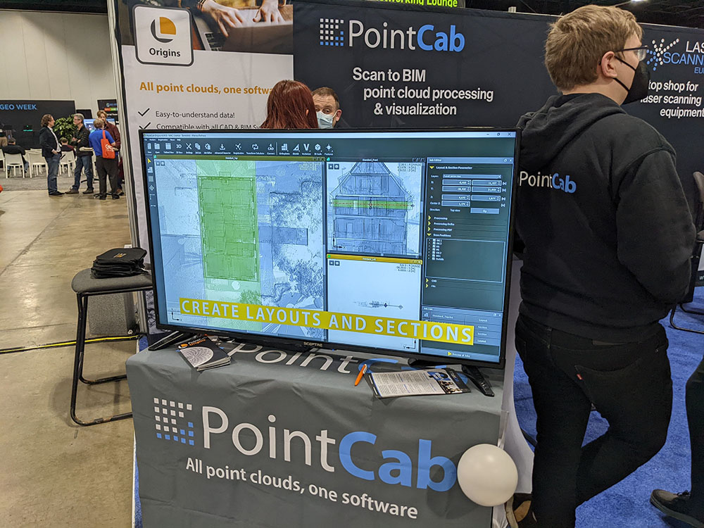
The PointCab 4AutoCAD Plugin is a fast, efficient and intuitive way to model all point cloud data in AutoCAD. With the plugin, AutoCAD users don't have to work in and navigate the 3D view of the point cloud. Instead, they can work on the intuitive 2,5D orthophotos in PointCab Origins and transfer the point cloud data directly from Origins to AutoCAD.
Designed to alleviate the issues using point clouds inside Revit typical presents, the free to use PointFuse for Autodesk® Revit® enables users to utilize the full potential of their point cloud data. Using either PointFuse Standard or Pro, a point cloud is automatically converted into a segmented mesh model, which can be classified. Once ready, this mesh is published to a PointFuse Revit File Format (.prf) using the “Publish to Revit” command, ready to be linked into any existing Revit project, on any users machine, whether they have a license of PointFuse or not.
Another Pitch the Press Winner, PointMan is a unique Precision Mapping Solution. Users can record and visualize the precise (x, y, z) location of critical surface & subsurface utility assets. Additionally, PointMan's mobile app allows users to connect their mobile device with major GPS/GNSS, cable, & pipe locating equipment manufacturers to capture mission critical infrastructure data.
The Sanborn Geo-Data Explorer™ gives users the ability to quickly organize and manage their own workflows. Within the application are four primary functions: exploring, selecting, previewing and downloading. It greatly enhances efficiencies with time management and communication by allow end users the ability to view, select, and download multiple types of datasets on their own quickly and easily.
To learn more about the 2022 Geo Week Pitch the Press winners, click here.


